KGZ23 Alaikuu Key Biodiversity Area
Area: 165,000 hectares.
KBA category: B1
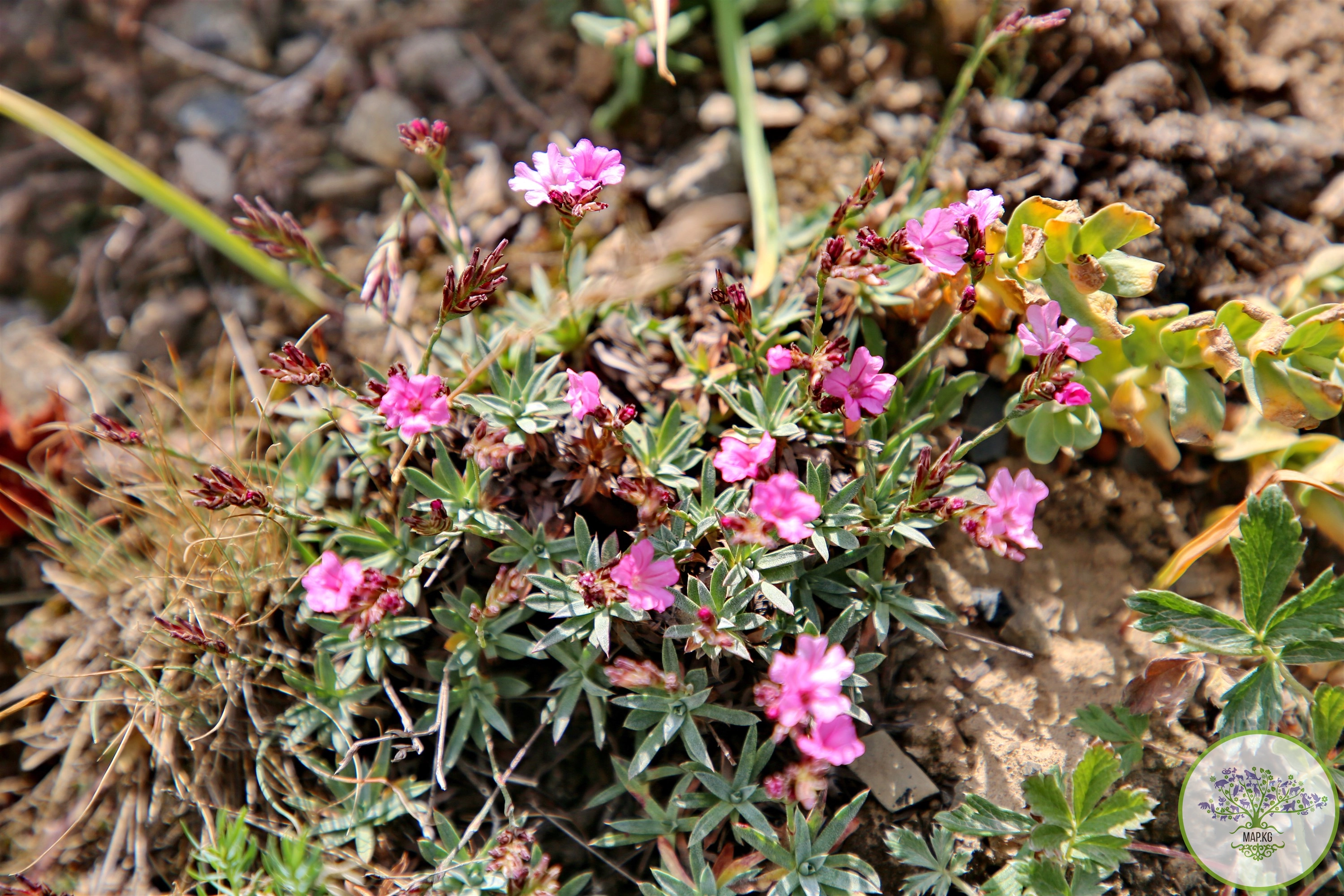
Species that initiated the designation of KBA [and other globally threatened species that are present in the KBA but have not been confirmed to meet the global KBA criteria]: Acantholimon karadarjense, Acanthophyllum coloratum, Allium zergericum, Crataegus knorringiana, Hedysarum chaitocarpum, Helichrysum ferganicum, Nepeta pseudokokanica, Neuroloma tianschanicum, Olgaea vvedenskyl, Onosma azurea, Oxytropis masarensis, Phlomoides cordifolia, [Panthera uncia].
Availability of protected areas: yes, Kulun-Ata Nature Reserve.
Settlements on the territory of the KBA: villages of Kegart, Kyzyl-Jar, Kan-Korgon, Saitalaa, Kuyotash
Adjacent to the territory of the KBA: -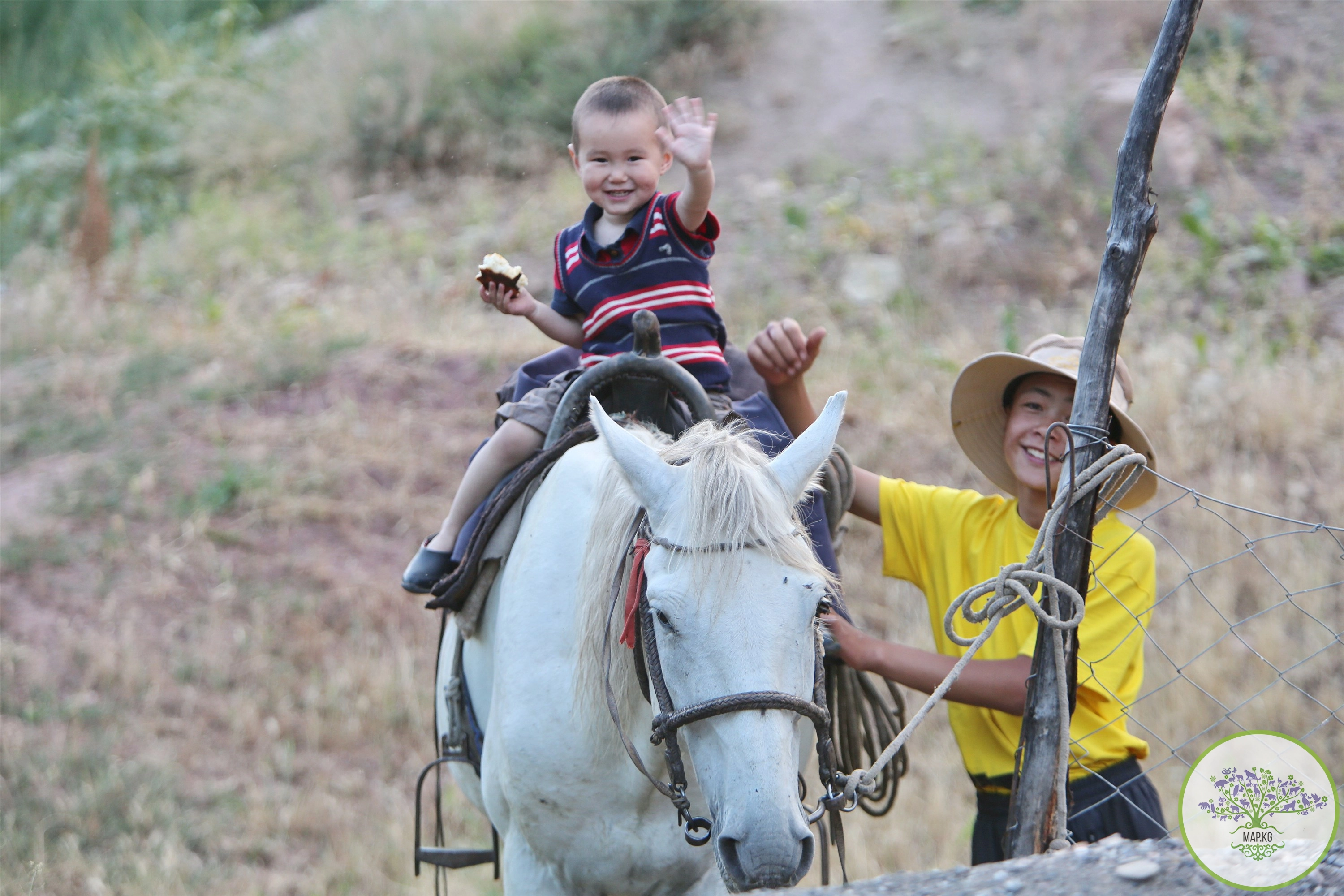
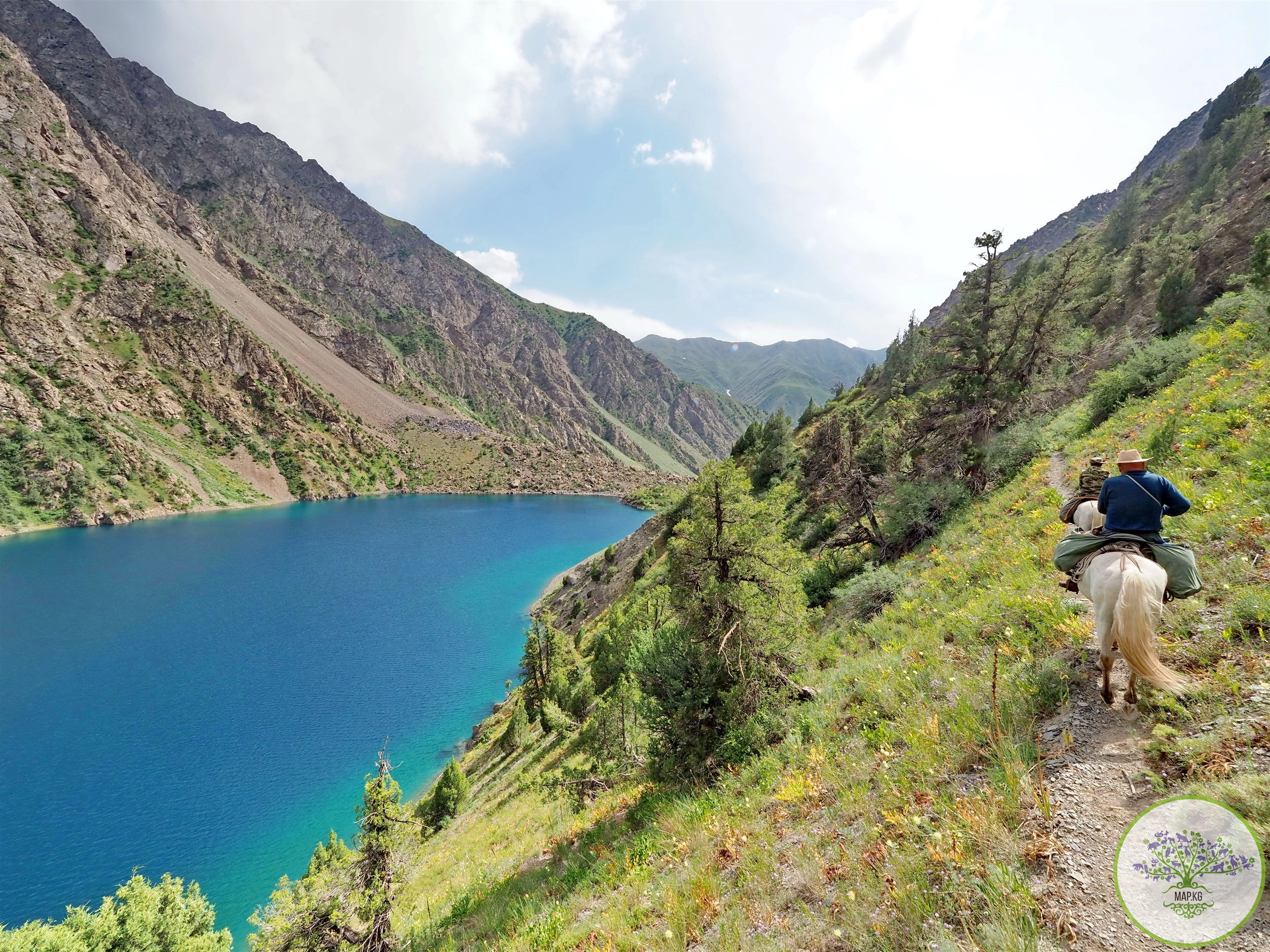
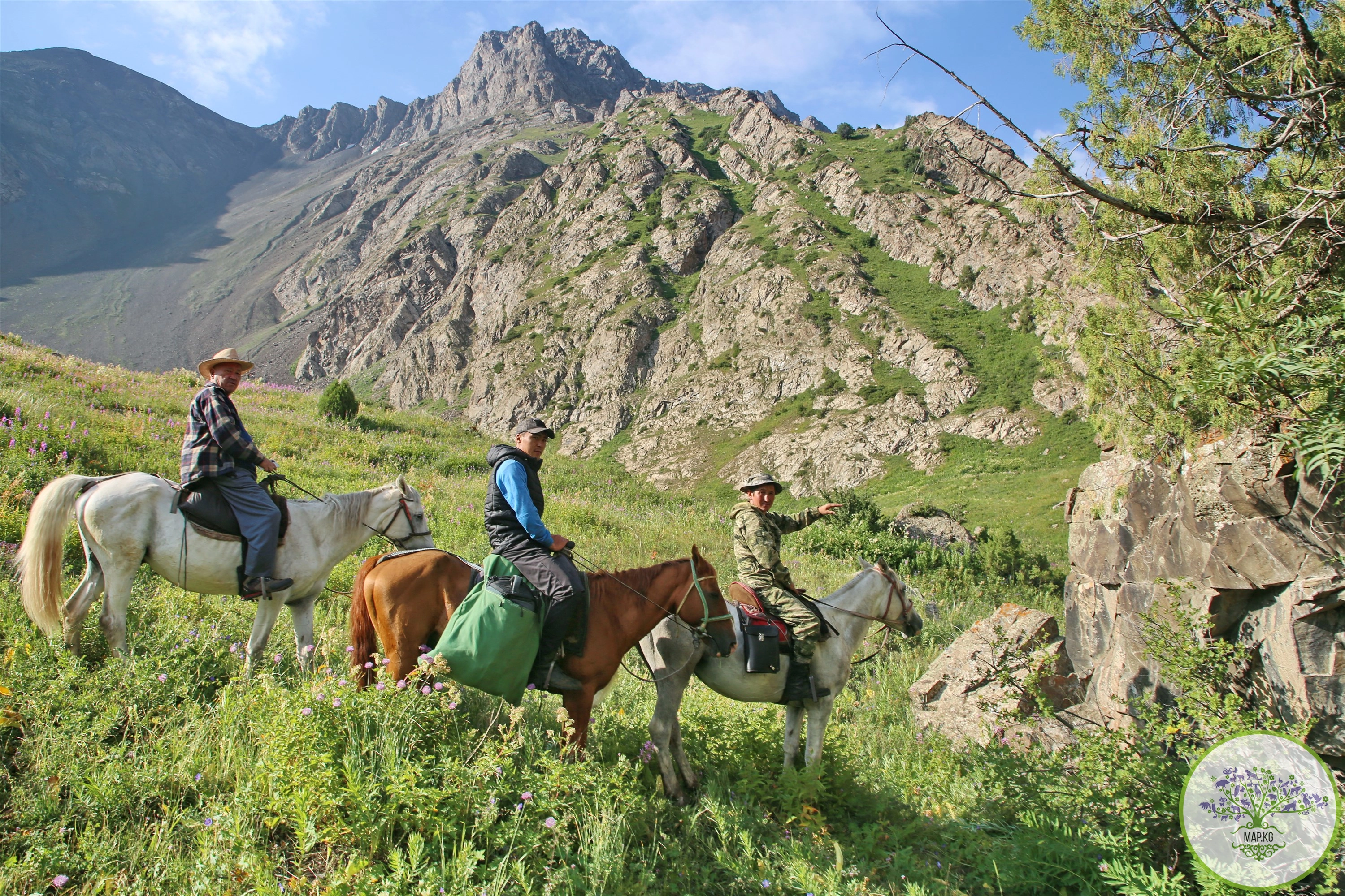
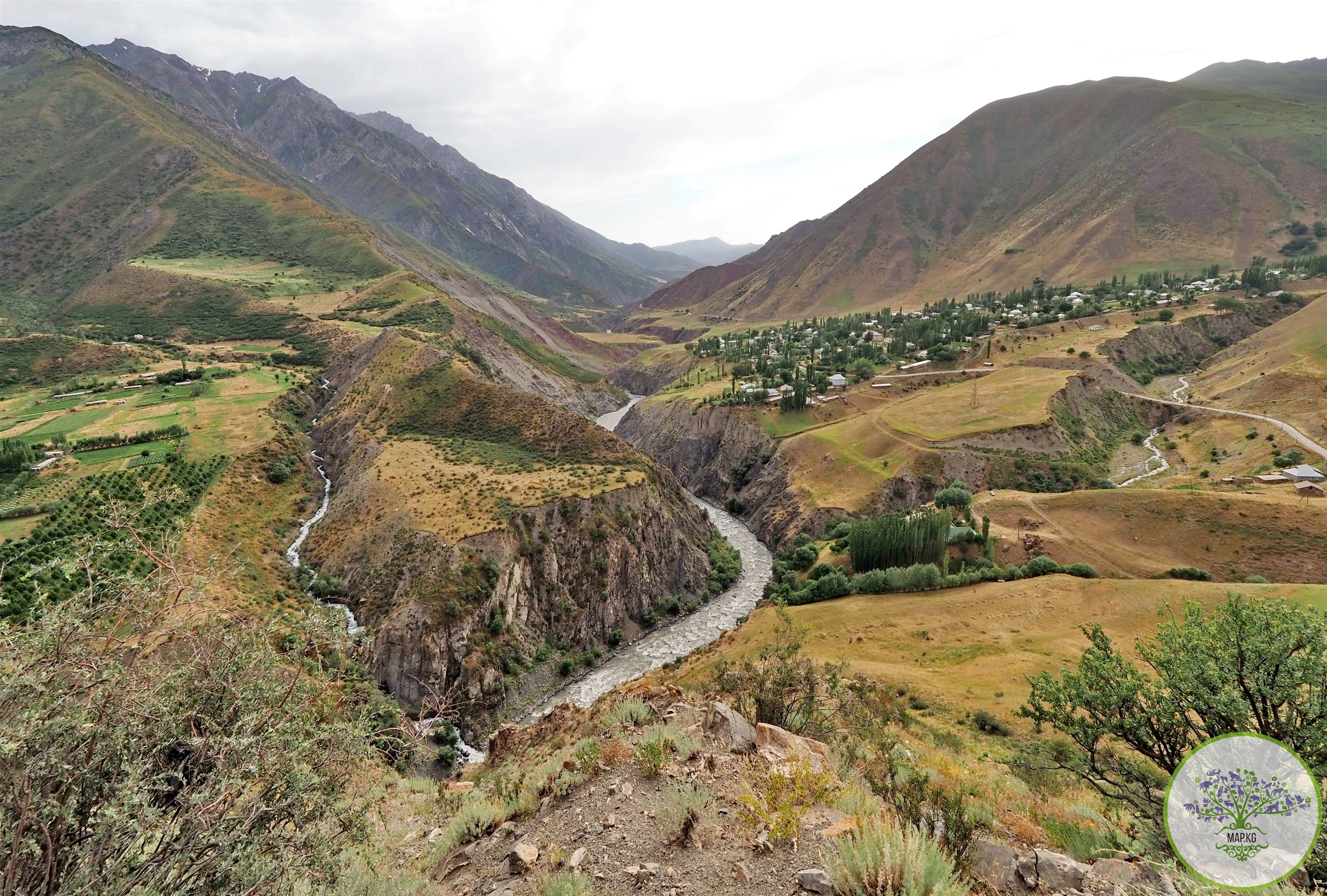
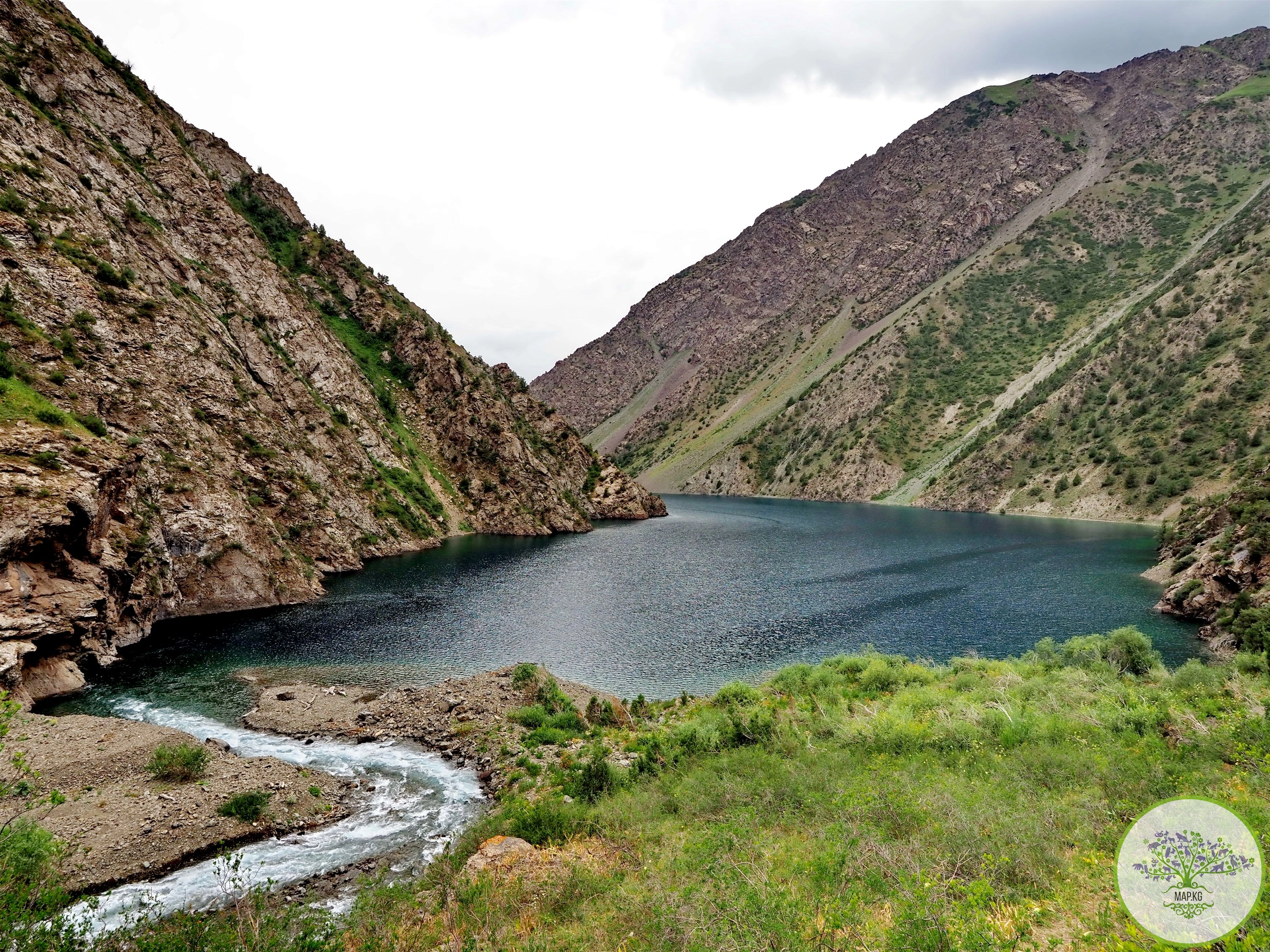
General description: Alai-Kuu is a high mountain valley in Kyrgyzstan, in the eastern part of the Fergana Valley. The river of the same name flows through the valley, a tributary of the Oy-Tal River, which merges with the Kara-Bel River to form the Tar River, a tributary of the Kara Darya. The Alaikuu River is characterized by increased water turbidity. Food sources are melt water from seasonal snow, glacial and spring rain water.
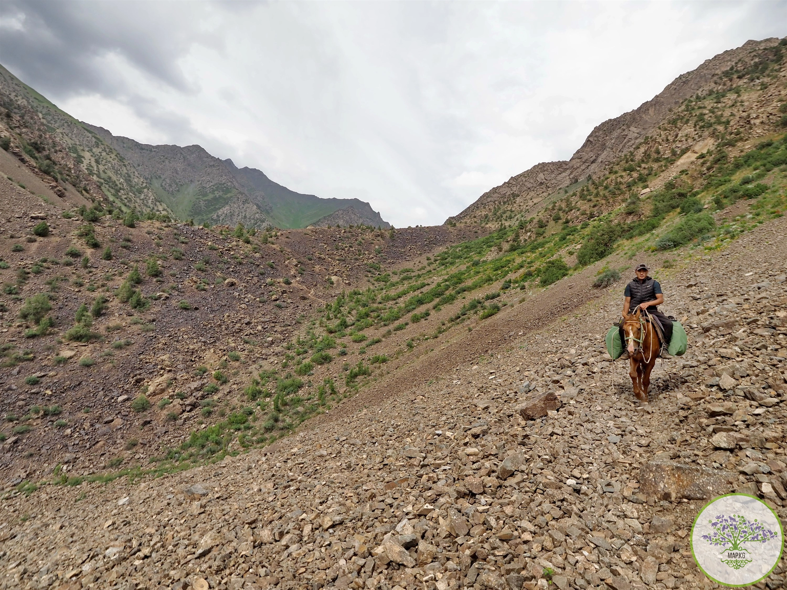
The valley is located in the extreme eastern part of the Kara-Kuldzha district of the Osh region, 225 kilometers (according to other sources - 160 kilometers) from the city of Osh and 120 kilometers from the regional center of Kara-Kuldzha. It is separated from the western part of the Kara-Kuldzha region by high mountains. The Alai ridge stretches in a convex arc south from the Alai-Kuu valley to the Sokha valley on
400 km. The average height of the ridge is 4000-4500 m. The short but equally high ridges Terek-Too, Kek-Bulak, Alai-Kuu, Olokon-Too, Kichi-Alai and Collector belong to the Alai ridge system.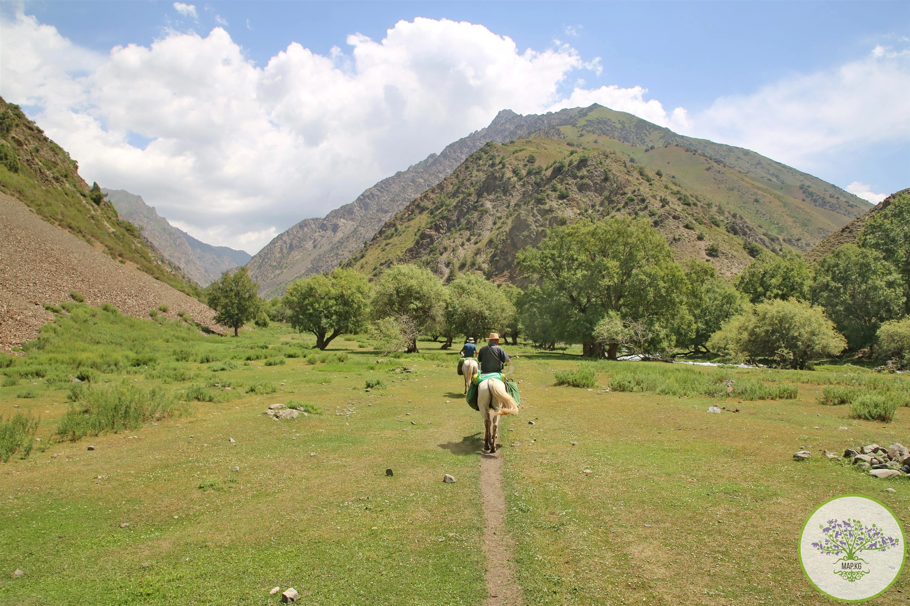
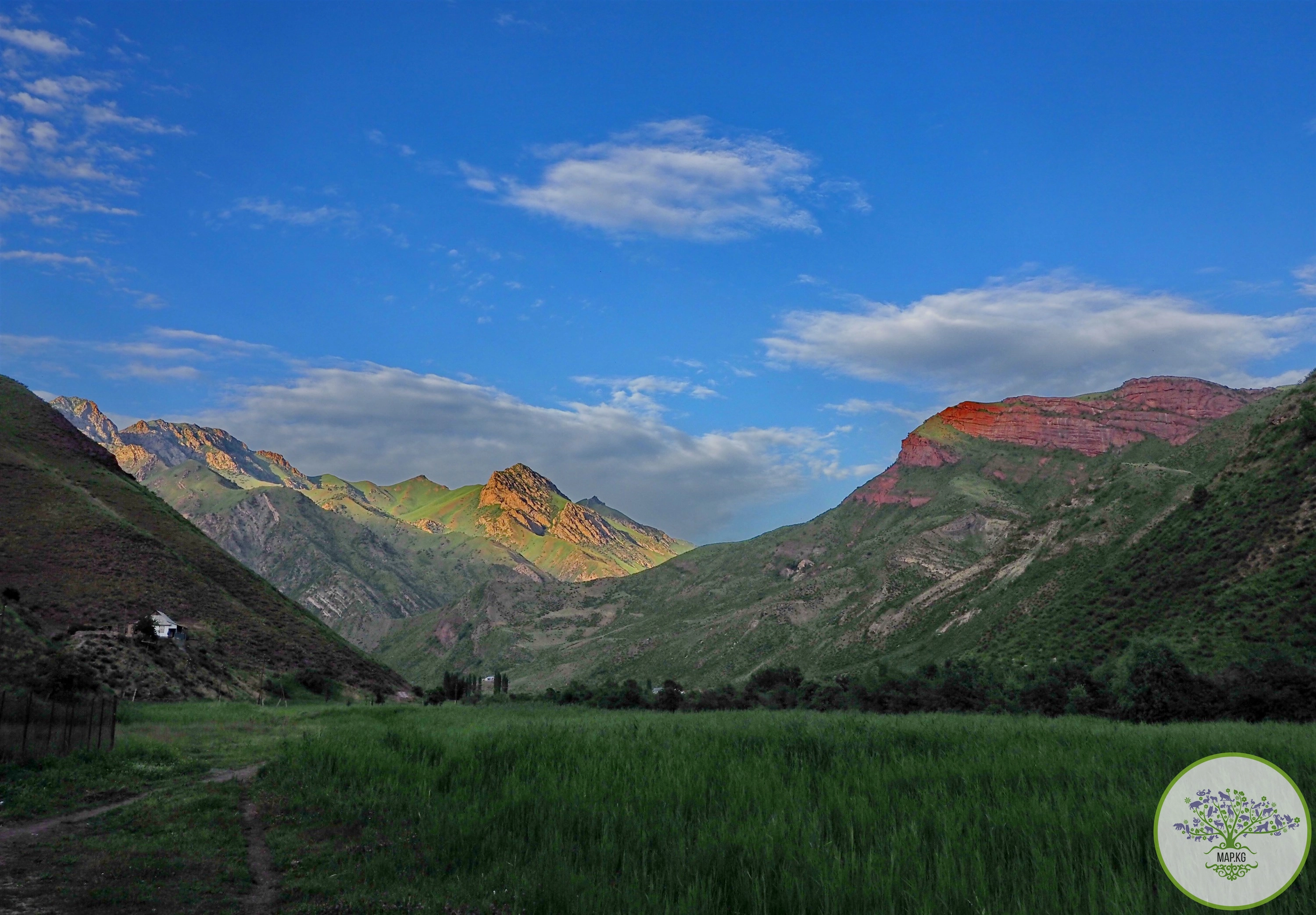
Alaikuu is characterized by harsh natural conditions. The climate is continental, arid. Moist air masses run parallel to the Alai and Turkestan ridges, the slopes remain in the orographic “shadow”, so the amount of precipitation increases as the altitude increases on the mountain slopes. Temperatures in the foothills and low mountains are 2-3 degrees higher. In winter, up to 1 meter of snow can fall. Due to bad weather, some villages are left without electricity.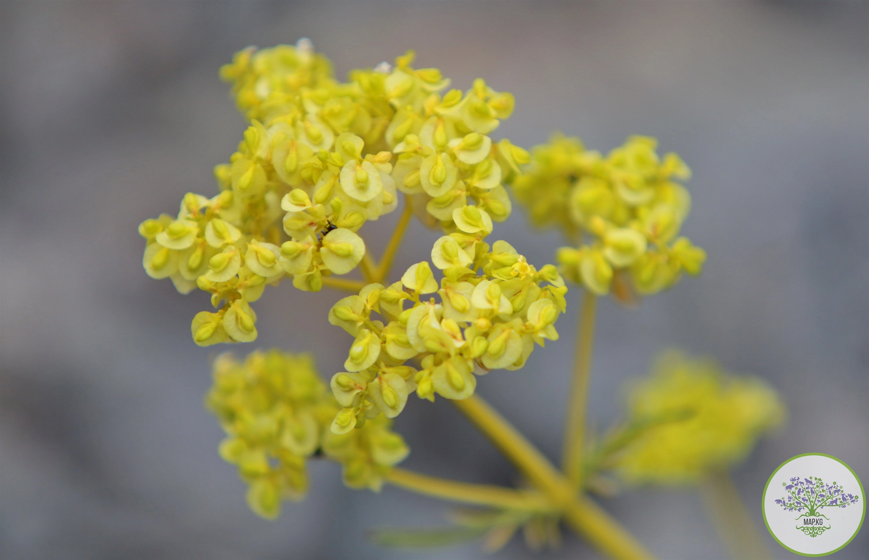
Dry climatic conditions and low precipitation are the reason for the formation of a special Alai-Turkestan type of altitudinal zonation. The distribution of both soils and vegetation directly depends on the distribution of moisture and heat in space.
The lowest foothill-adyr zone (1,000–1,300–1,500 m) is represented by semi-deserts on ordinary and dark gray soils (mainly on the northern slopes of the Turkestan Range); loess lowlands and partly middle mountains (1,300-1,500-2,000-2,200 m) with dark gray soils and light brown soils - various types of steppes of a subtropical appearance.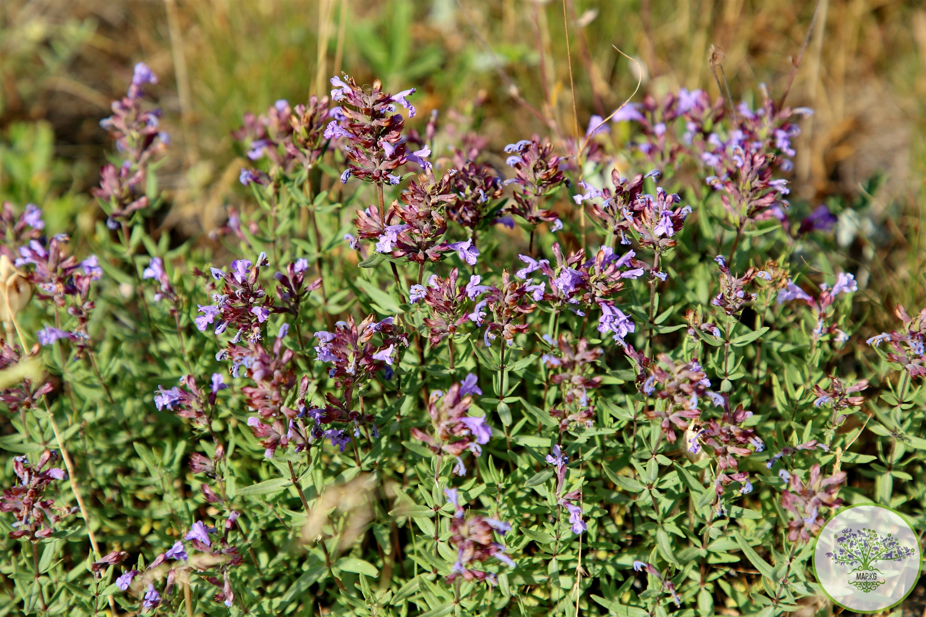
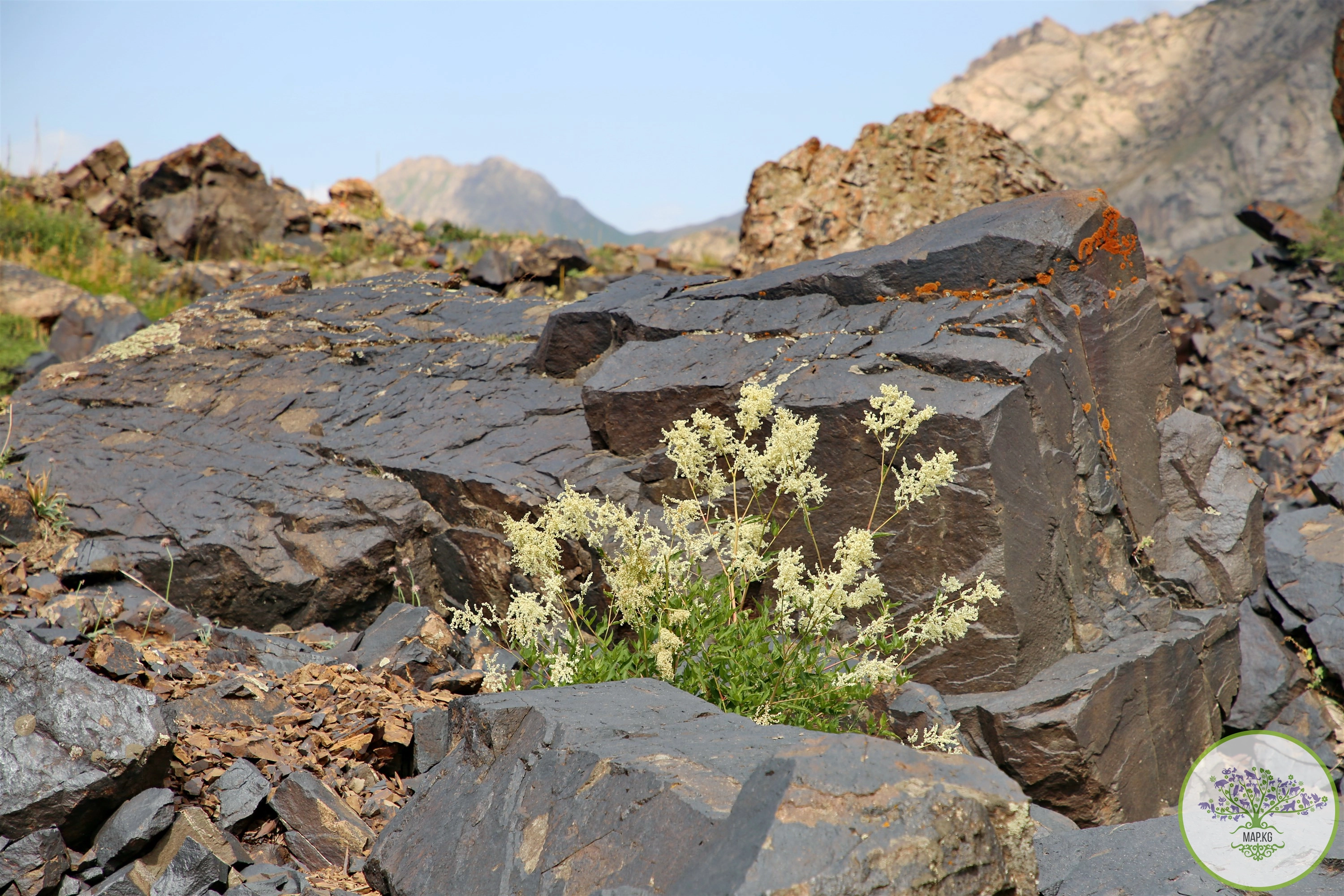
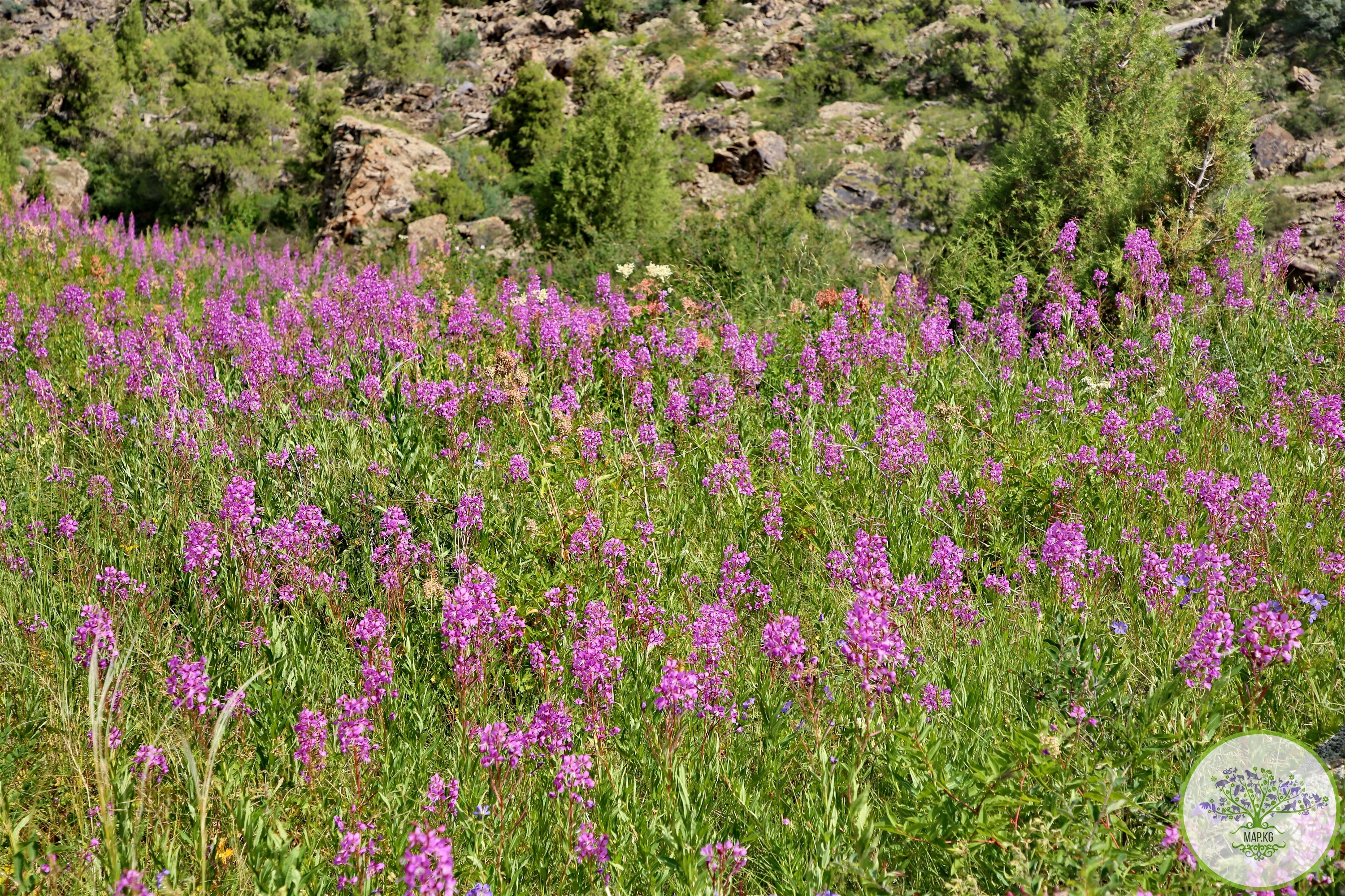
The forest-meadow-steppe zone appears here differently than in the Northern Fergan region. Instead of the broad-leaved forests of the Fergana, Atoynok and Chatkal ranges, the midlands and lower parts of the highlands (2000-3400 m) of the Alai-Turkestan province are dominated by juniper forests, open forests, various types of steppes and meadow-steppes, developed on brown-brown and mountain meadow-steppe soils . The juniper belt plays a huge water-protecting, soil-protecting, anti-mudflow role.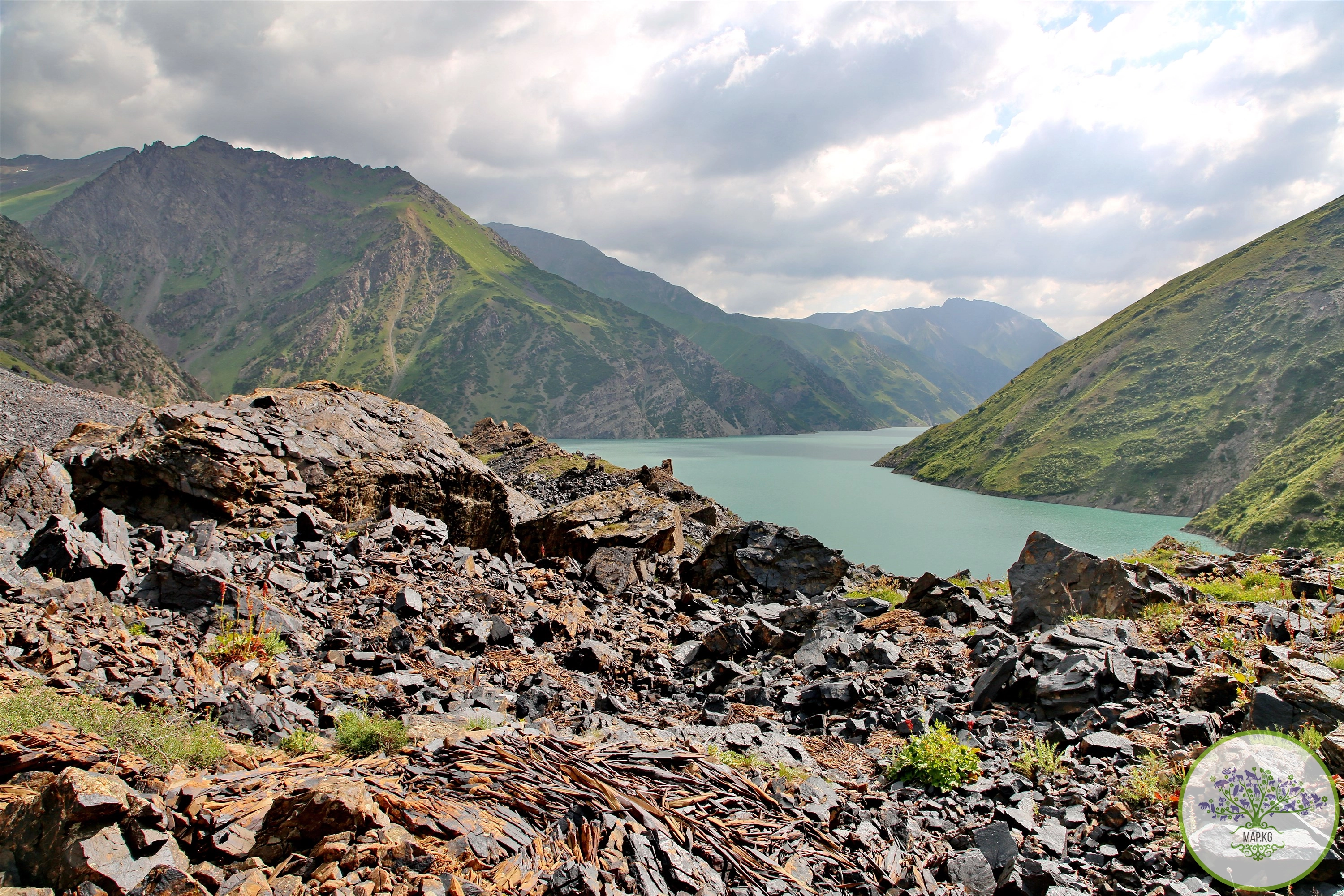
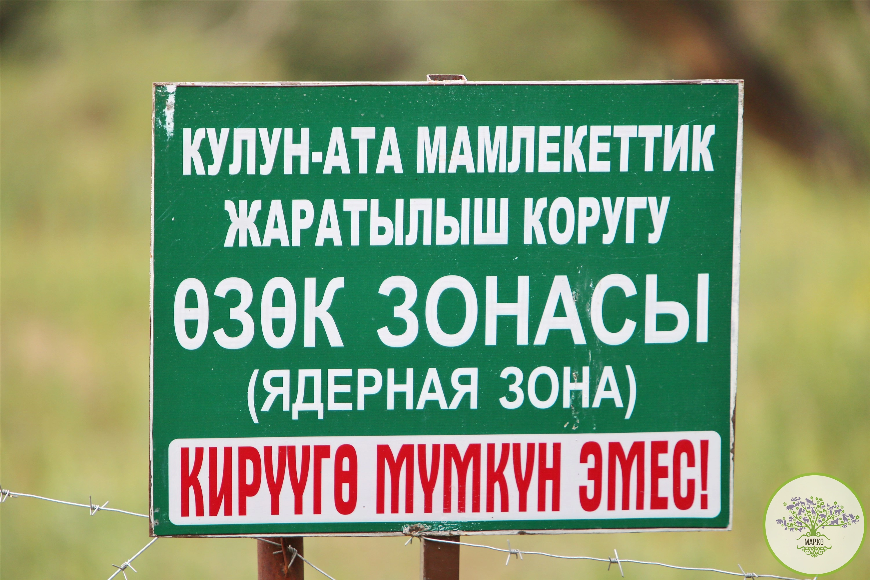
Significant part of the Alai-Kuu KBA is under state protection. This is the Kulunata State Reserve. It was organized in the Kara-Kuldzha district of Osh in 2004 in order to preserve biodiversity, the rich gene pool of juniper-coniferous forests, flora and fauna, improve the protection of biological resources, and expand the network of specially protected natural areas.
The area of the reserve is 24,510 hectares and includes two separate protected areas: “Kulunata” with an area of 18,510 hectares and “Tonzoo” with an area of 6,000 hectares.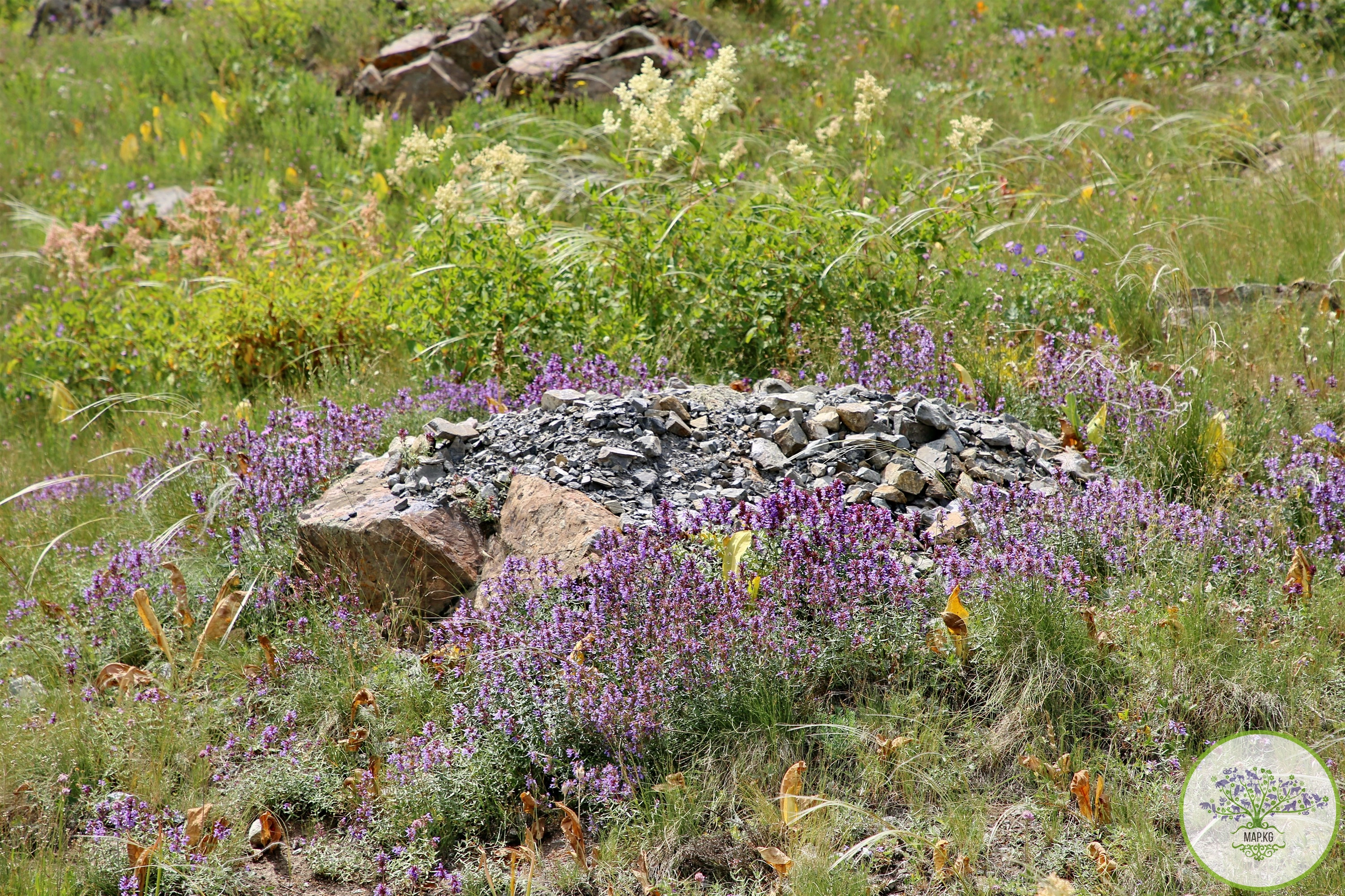
Of the total area of the reserve (27434.2 hectares), forest lands occupy 3483.5 hectares (12.7%), forested areas occupy 2742.4 hectares (10% of the total area of the reserve). Water - 338.3 hectares, glaciers -1164.6 hectares, open spaces - 324.2 hectares, clearings and wastelands - 416.9 hectares, pastures - 12365.6 hectares, other lands -10076.7 hectares (42.1% of non-forest lands).
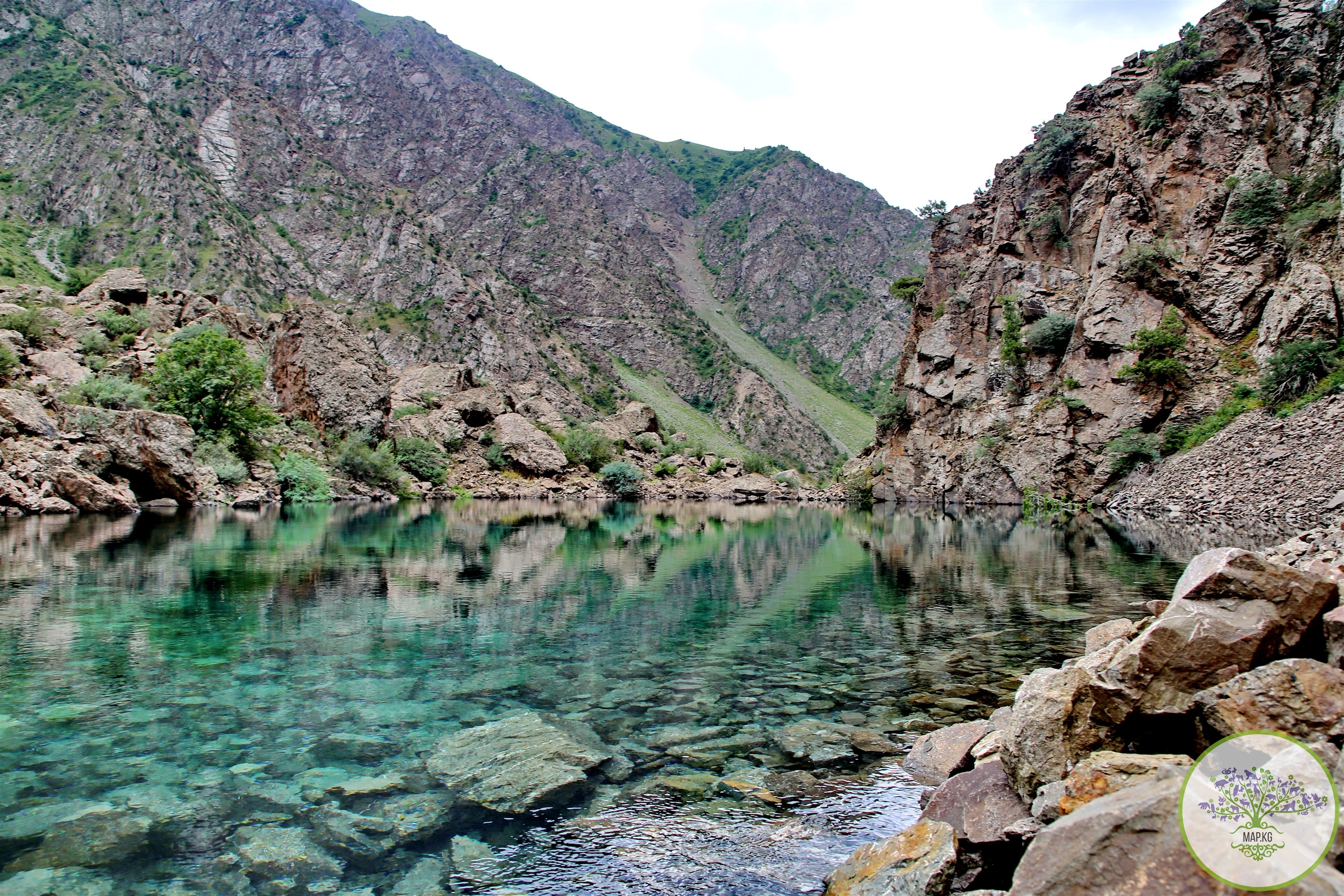
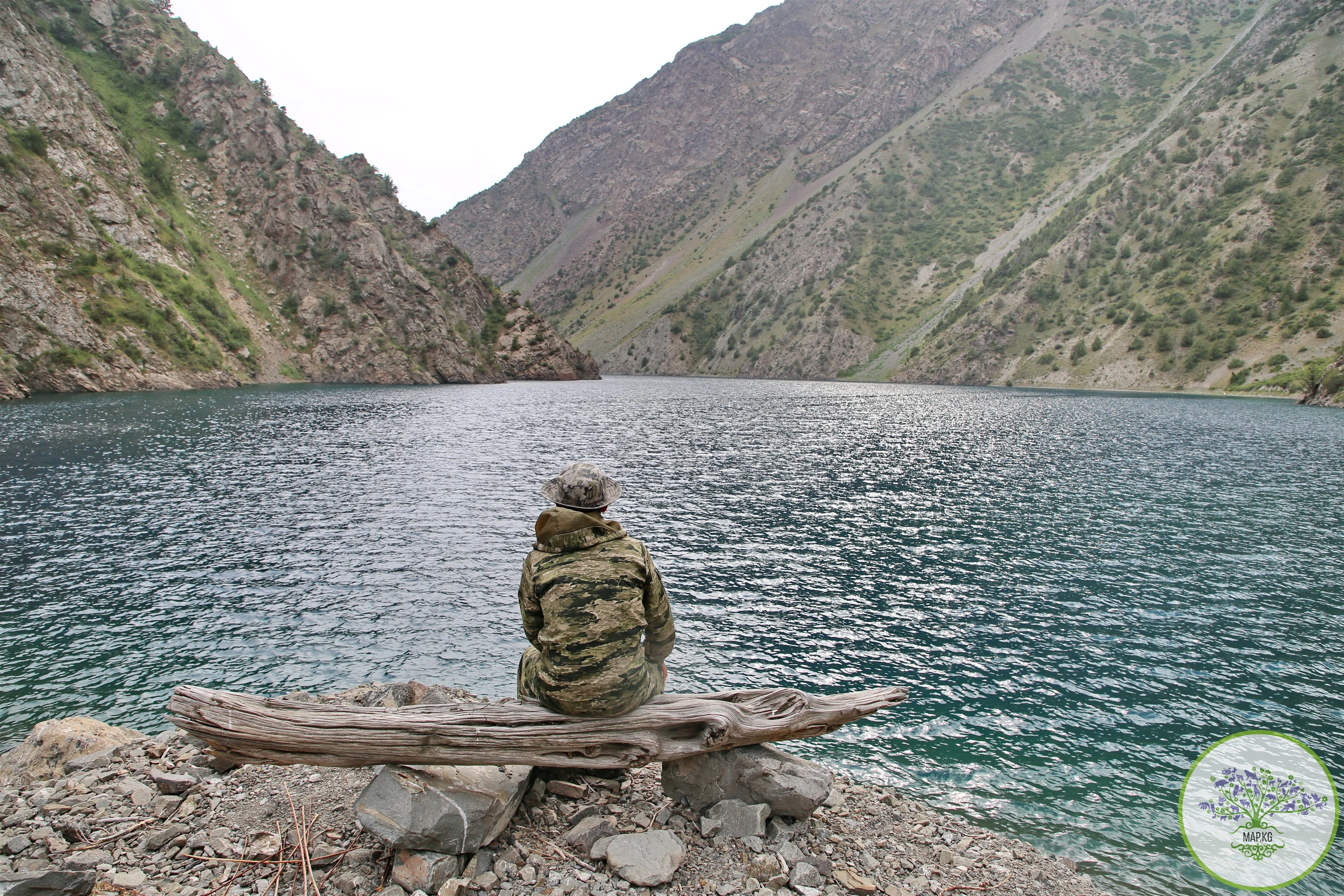
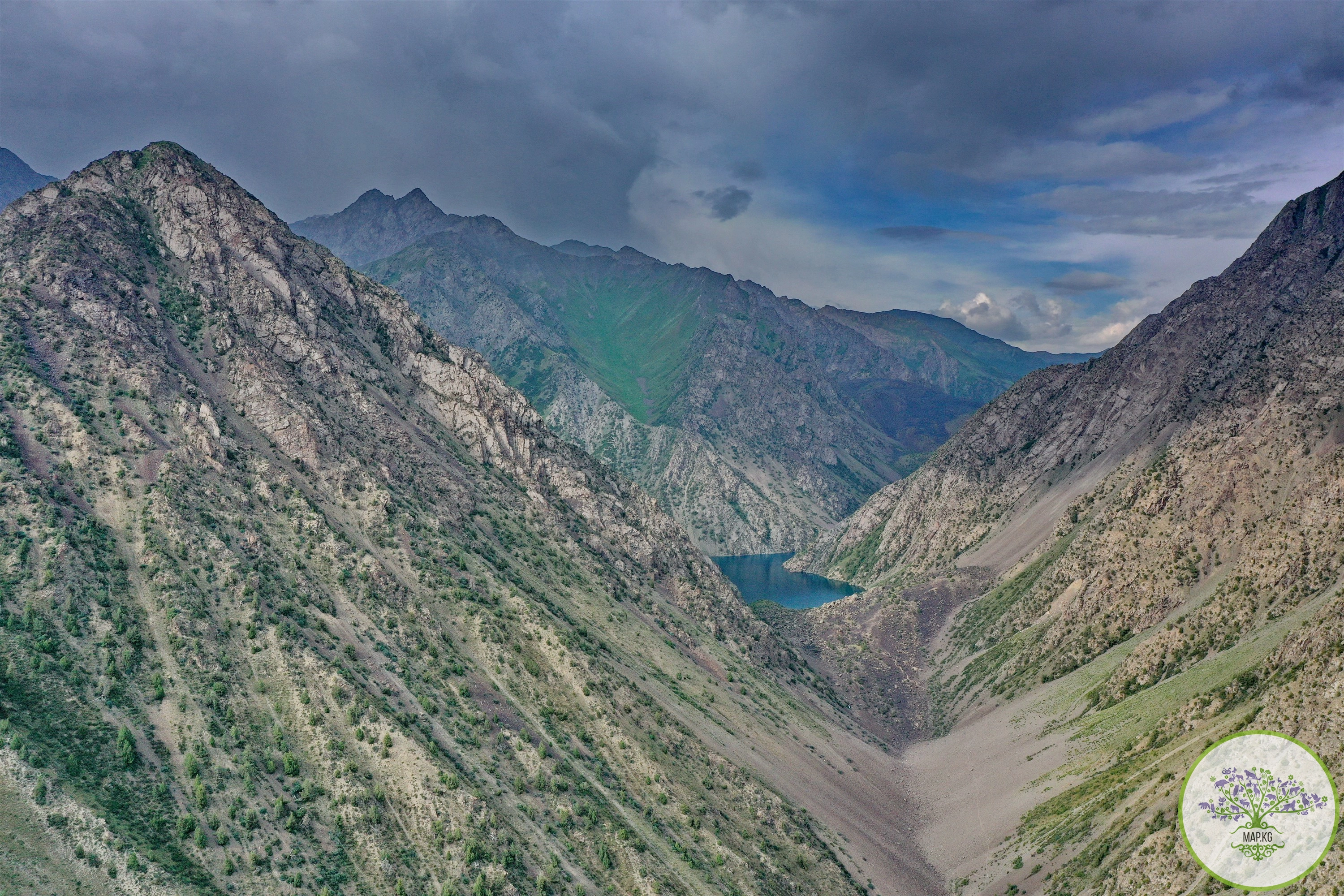
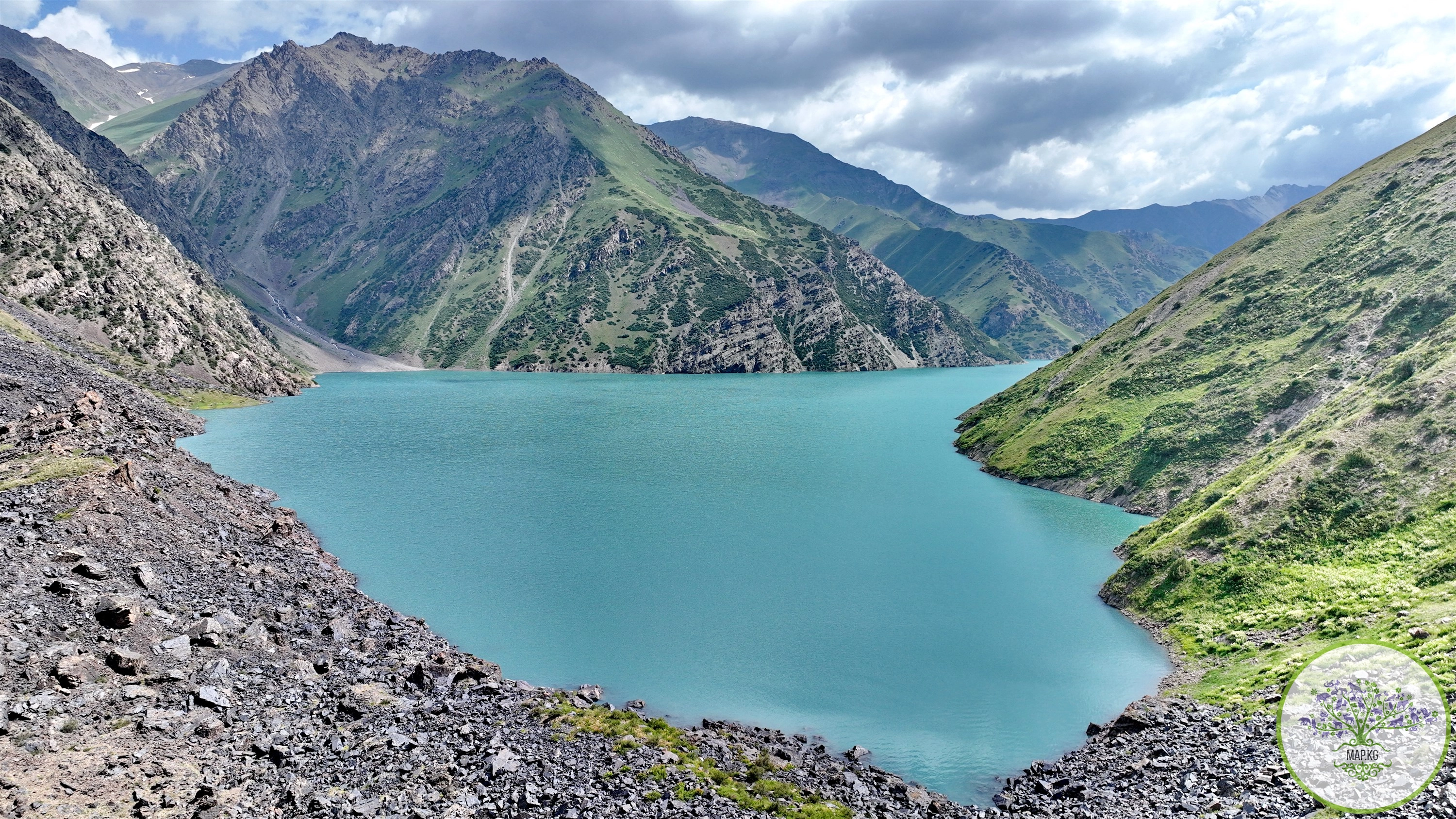
On the territory of the reserve there are mountain dam lakes that are unique in their beauty - Kulunata and Ortokol. Lake Kulunata with its adjacent forests, subalpine and alpine meadows represents a unique mountain-lake ecosystem. The Kulunatinsky Nature Reserve is currently home to 24 species of mammals, 81 species of birds, and 808 species of plants.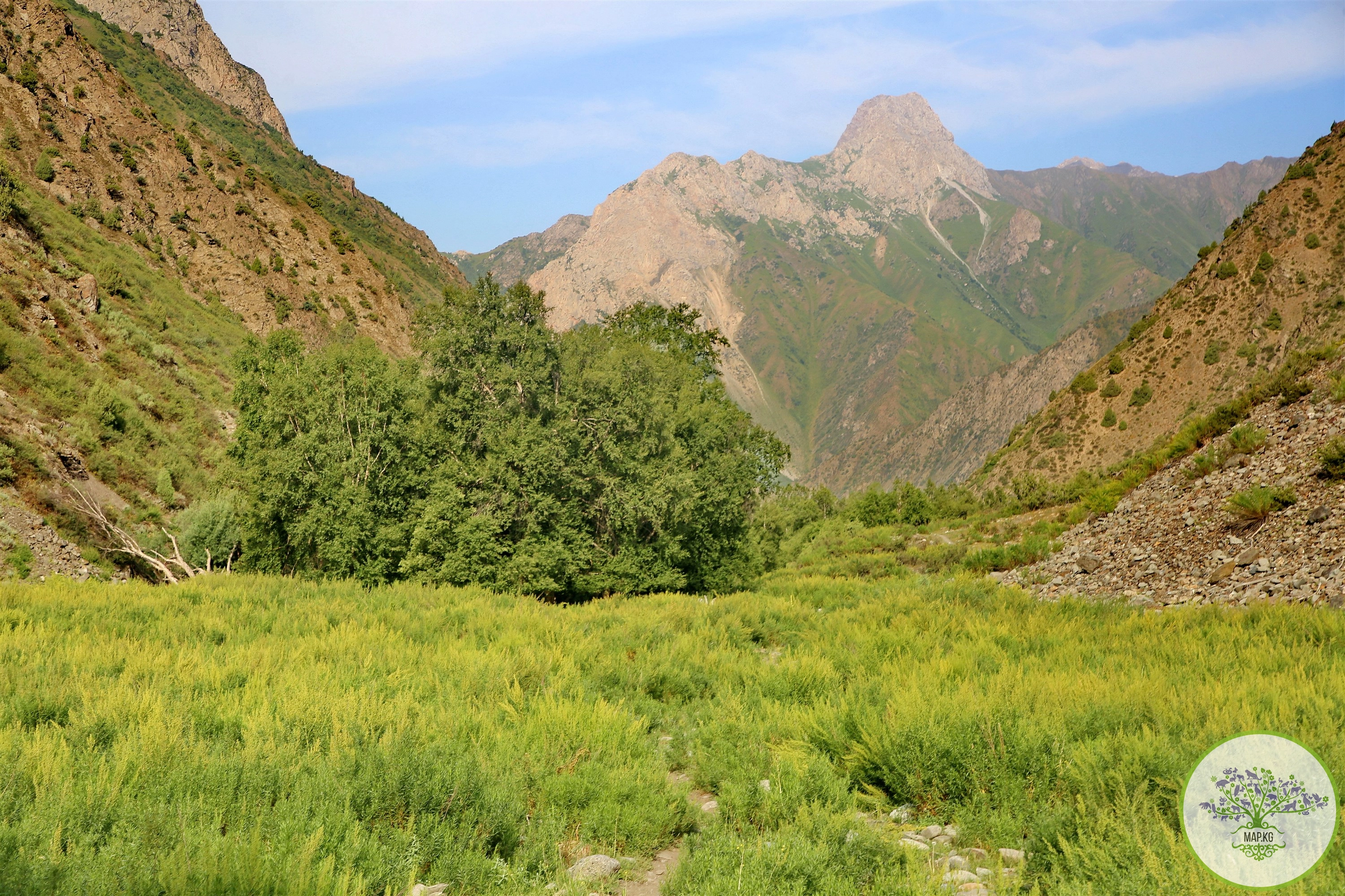
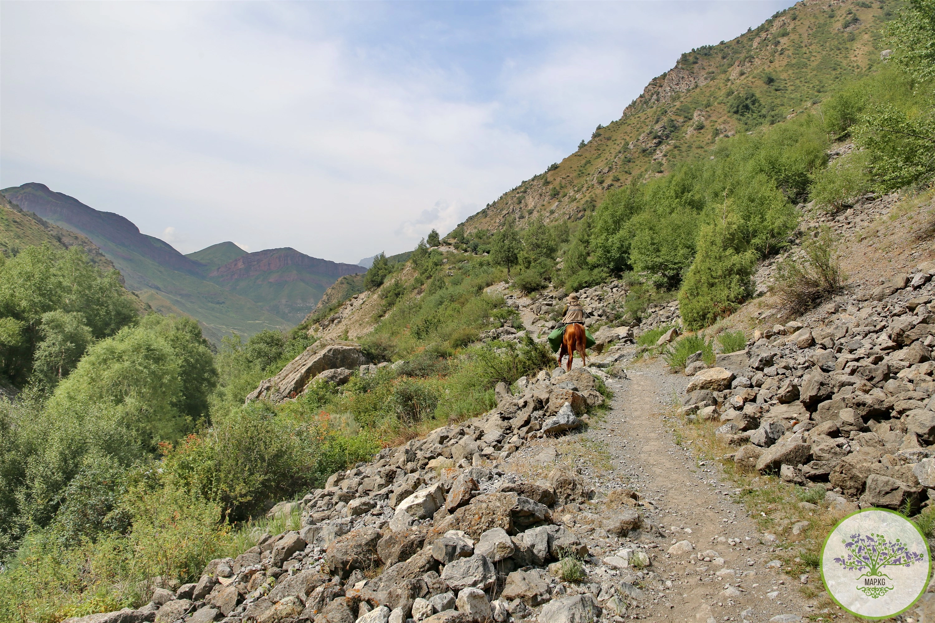
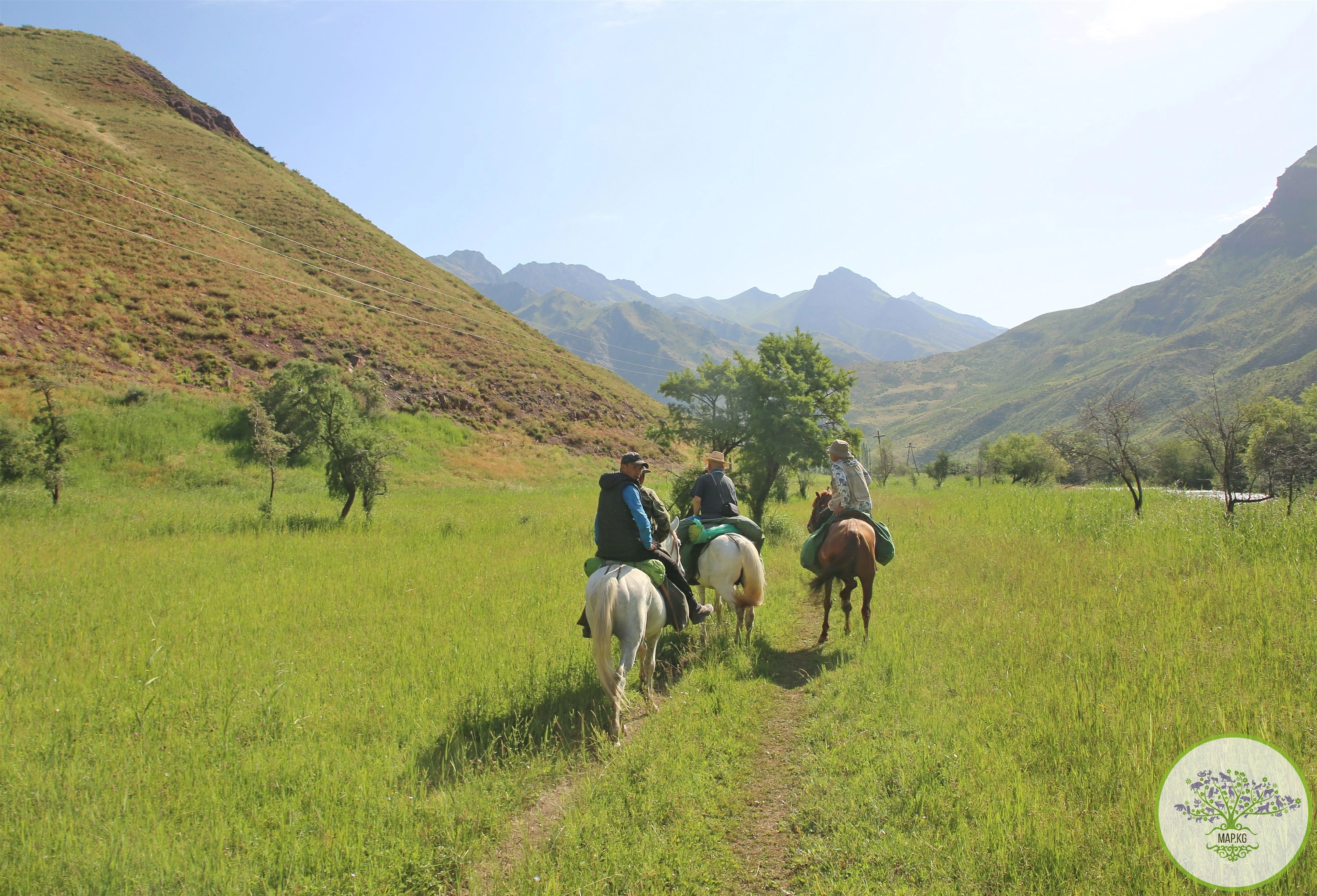
Settlements: The only highway leading to the valley is Kara-Kuldzha - Kögart. One of the two main branches of the Great Silk Road connecting the West and the East runs through the valley: Osh - Uzgen - Myrza-Ake - Kara-Kulja - Alaikuu - then along the country road to Kashgar.
In the valley there are the villages of Kegart, Kyzyl-Dzhar, Kan-Korgon, Saitalaa, Kuyotash.
There are 1,160 farms in the valley, home to 6,008 people (according to other sources, about 30 thousand people), who are engaged in livestock breeding (cattle breeding).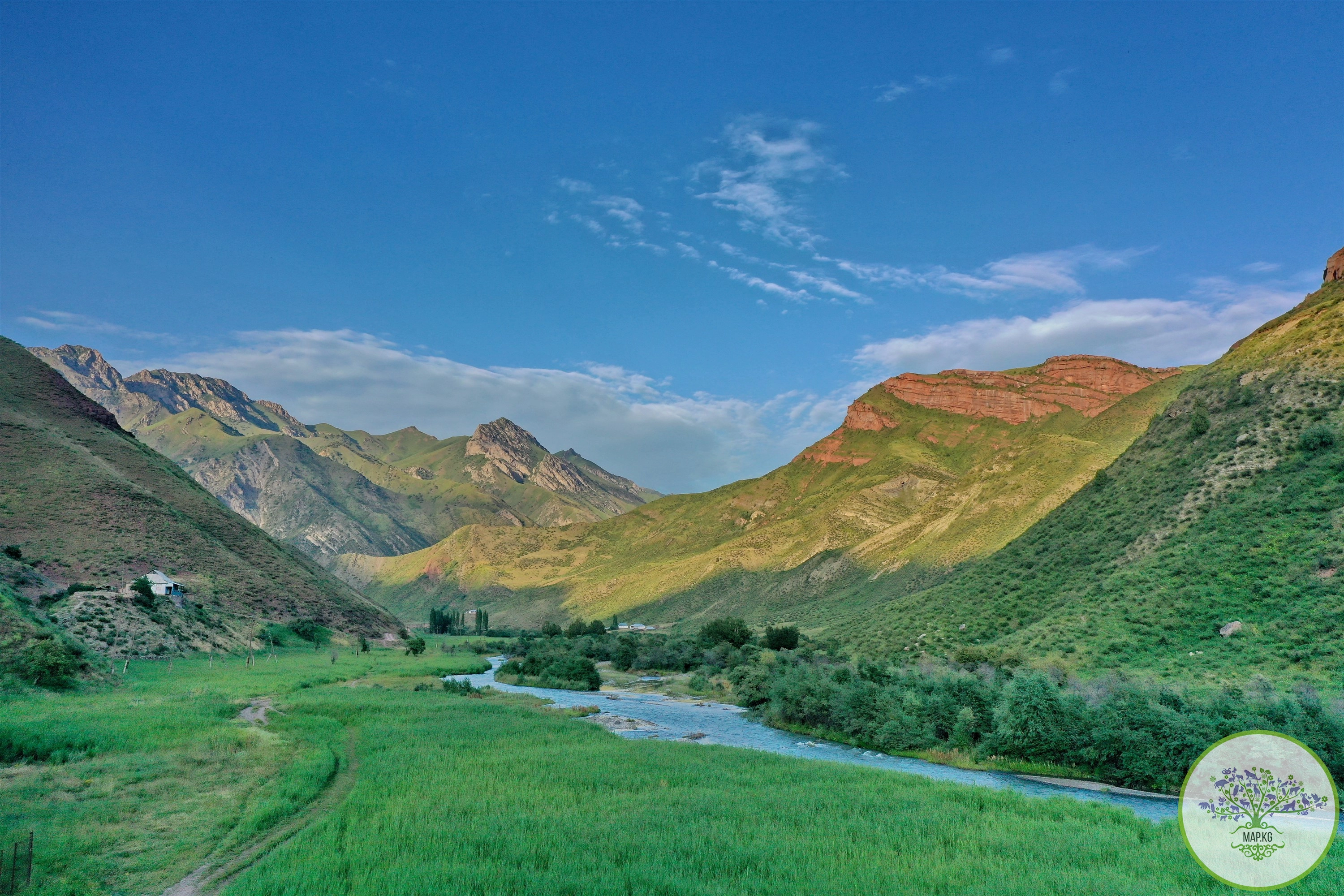
Attractions: An ancient Uighur written monument was registered in Alaikuu in the Unkyur area above Ak-Beyit.
According to the epic “Manas”, the viziers of Manas, led by Bakai, hunted in the area of Alaikuu.
The valley hosts the annual ethno-festival “Alaykuu”. The “Alaiku” eco-farm has been organized, which includes a yurt town, a guest house, a coffee shop and a dairy shop, holding master classes on preparing national dishes, competitions in national and equestrian games.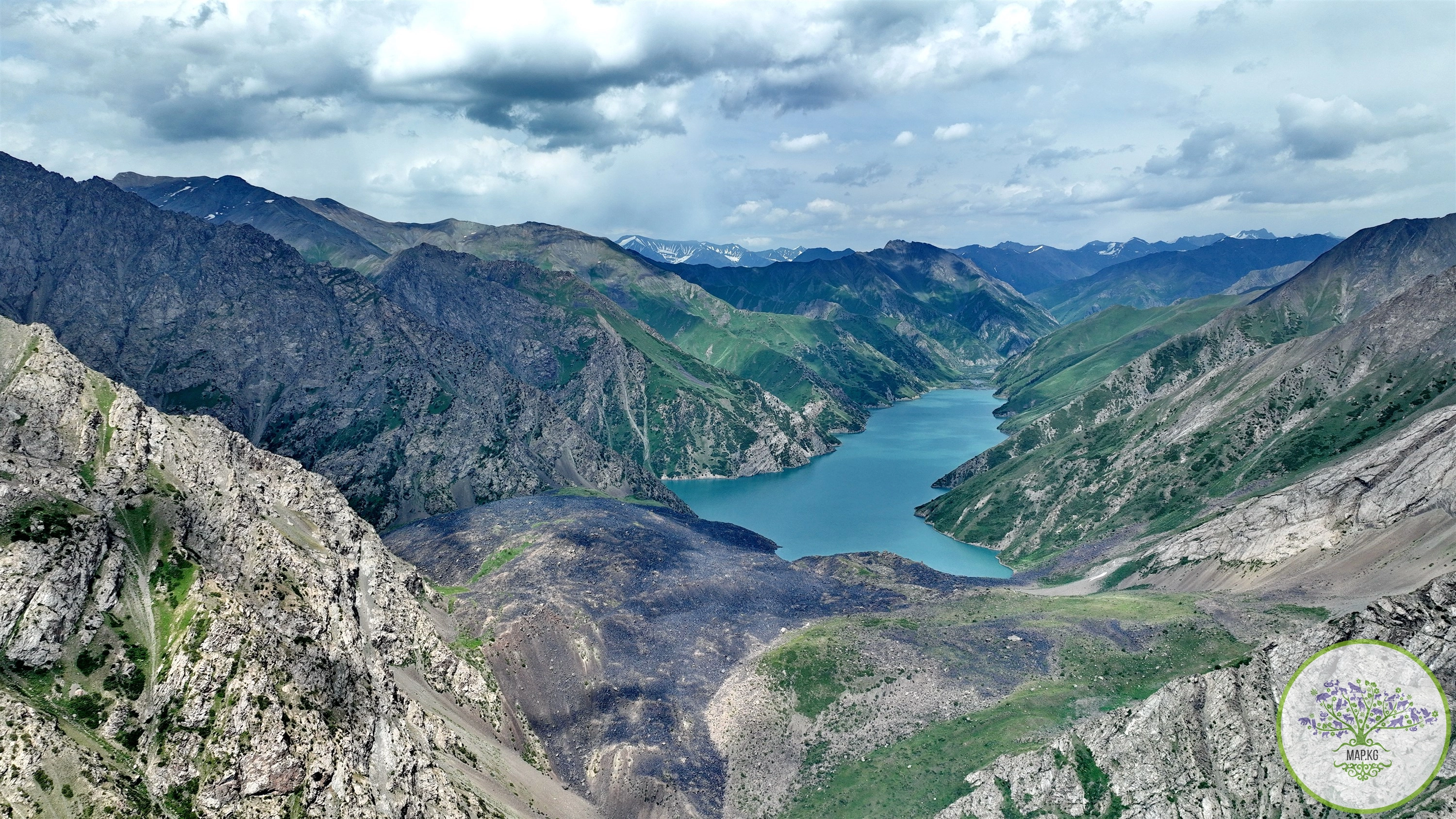
THE LEGEND OF KULUN-ATA : In the village of Konduk, Kara-Kuldzha district, Osh region, there is a Toguz-Bulak spring, which, according to local residents, is sacred. There are certain rules when worshiping. Anyone who wants children must come to the spring alone and barefoot. There is a mausoleum next to the spring. As local elders said, the baatyrs who died in the struggle between the Kalmaks and the Kyrgyz are buried here.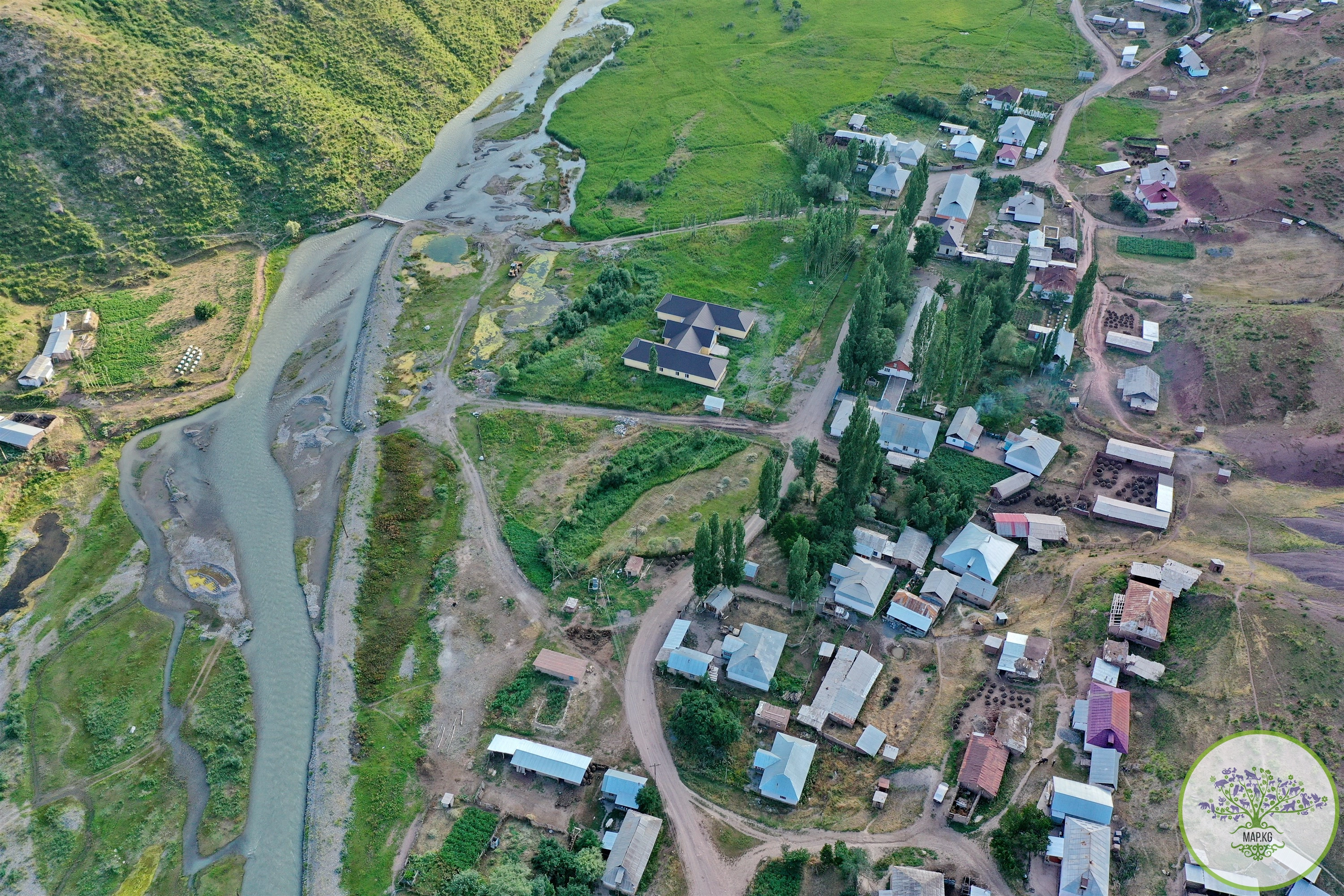
According to legend, once a resident of the Alaikuu valley came to the Toguz-Bulak spring on his horse to bow. While I was praying, I didn’t notice how dark it had become. He decided to spend the night there. Waking up at night, he saw a white horse coming out of a spring. Some time later, his horse gave birth to an unusual foal. Then this man decided to go to the spring again to get another foal. At night a white horse appeared and took the foal. So, the greedy man was left without a foal, and the area was called “Kulun-Ata” (Kulun-foal, ata-father).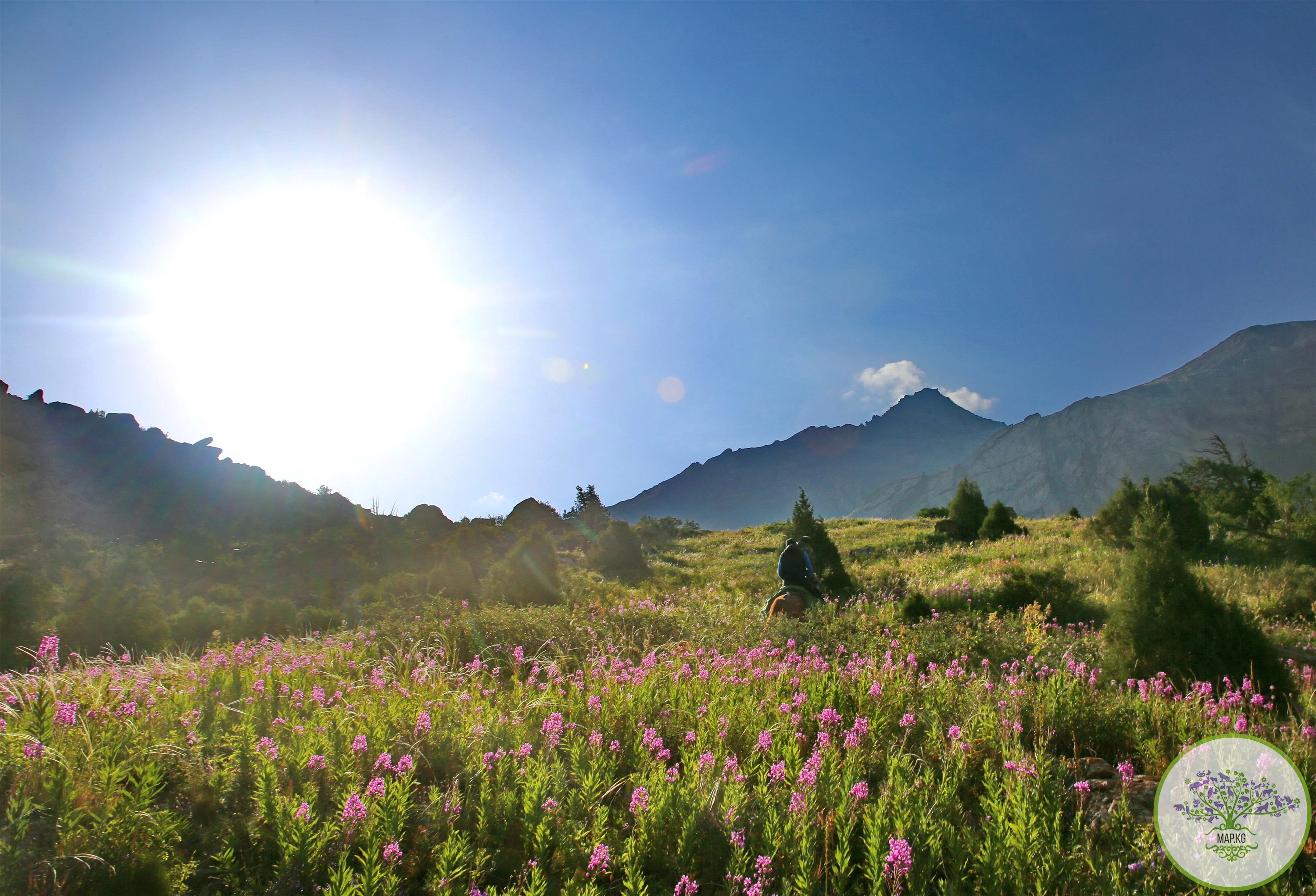
Материалы по теме: