KGZ10 Key Biodiversity Area Chychkan
Square: 15 000 hectare
Category of KBA: B1
Species that initiated the allocation of KBA [and other globally threatened species that are present in the CBA but have not been confirmed to meet the global criteria for KBA]: 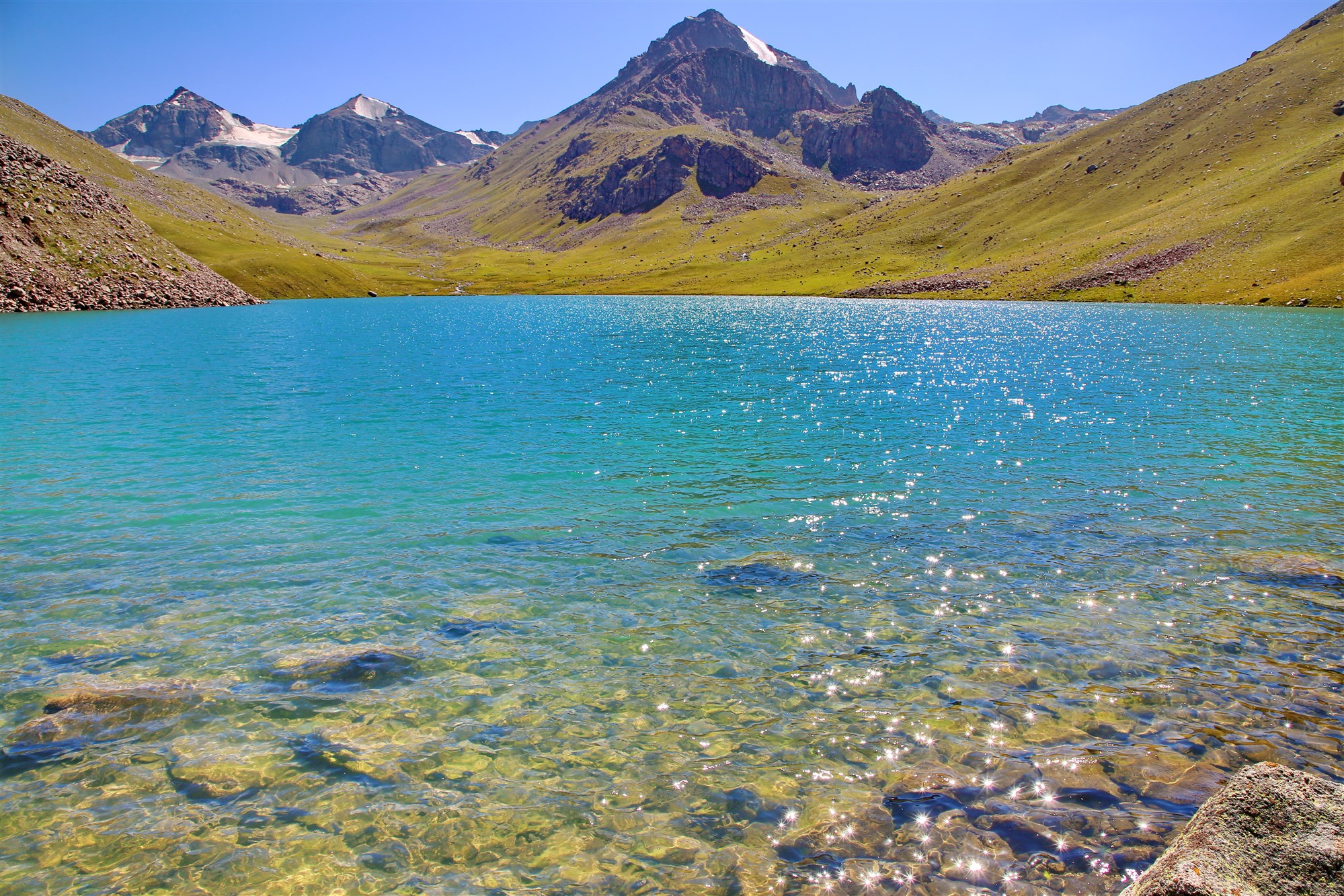
Plants: Semenov fir (Abies semenovii), Chichkansky onion (Allium chychkanense), Tsinovskis cotoneaster (Cotoneaster cinovskisii), Knorring hawthorn (Crataegus knorringiana), Draba sarycheleki (Draba sarycheleki), Juno Zinaida (Juno zenaida), Leibnitzia Knorring (Leibnitzia knorringiana), Sage Vvedensky (Salvia vvedenskyi), Korzhinsky's Gill (Seseli korshinskyi), Suusamyr Smolevka (Silene sussamyrica)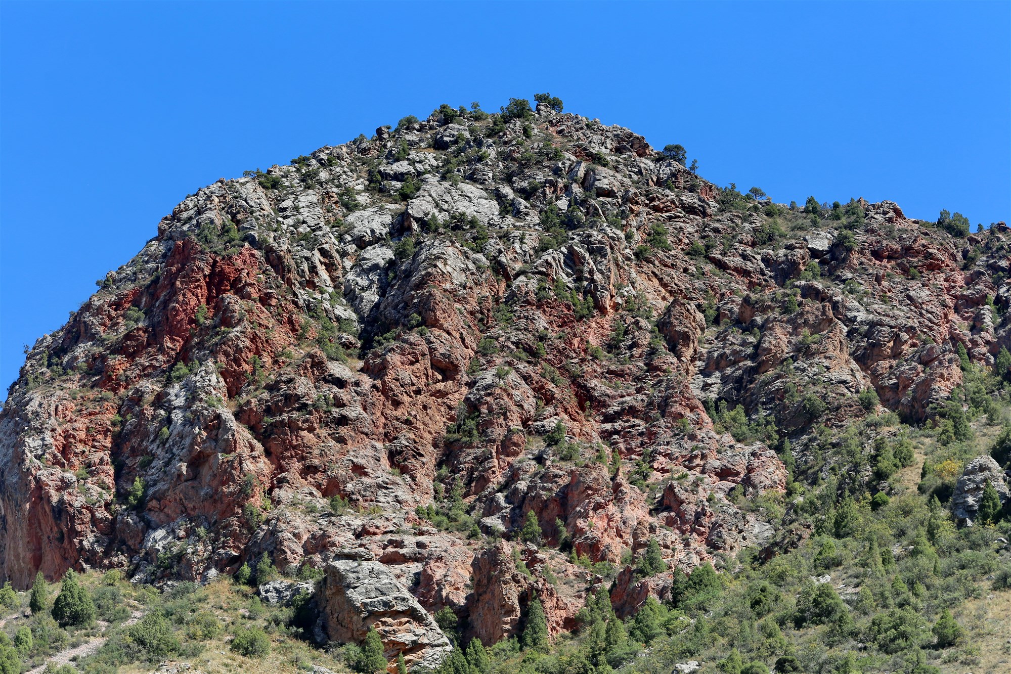
Availability of protected areas: Yes
Settlements on the territory of the KBA: Oshibulak
Adjacent to the territory of the KBA: - 
Location:The Chychkan Gorge starts from the Ala-Bel pass, which is located at the western end of Suusamyr, and runs tens of kilometers south, to the Toktogul reservoir. The gorge is located on the 250th kilometer of the Bishkek-Osh highway.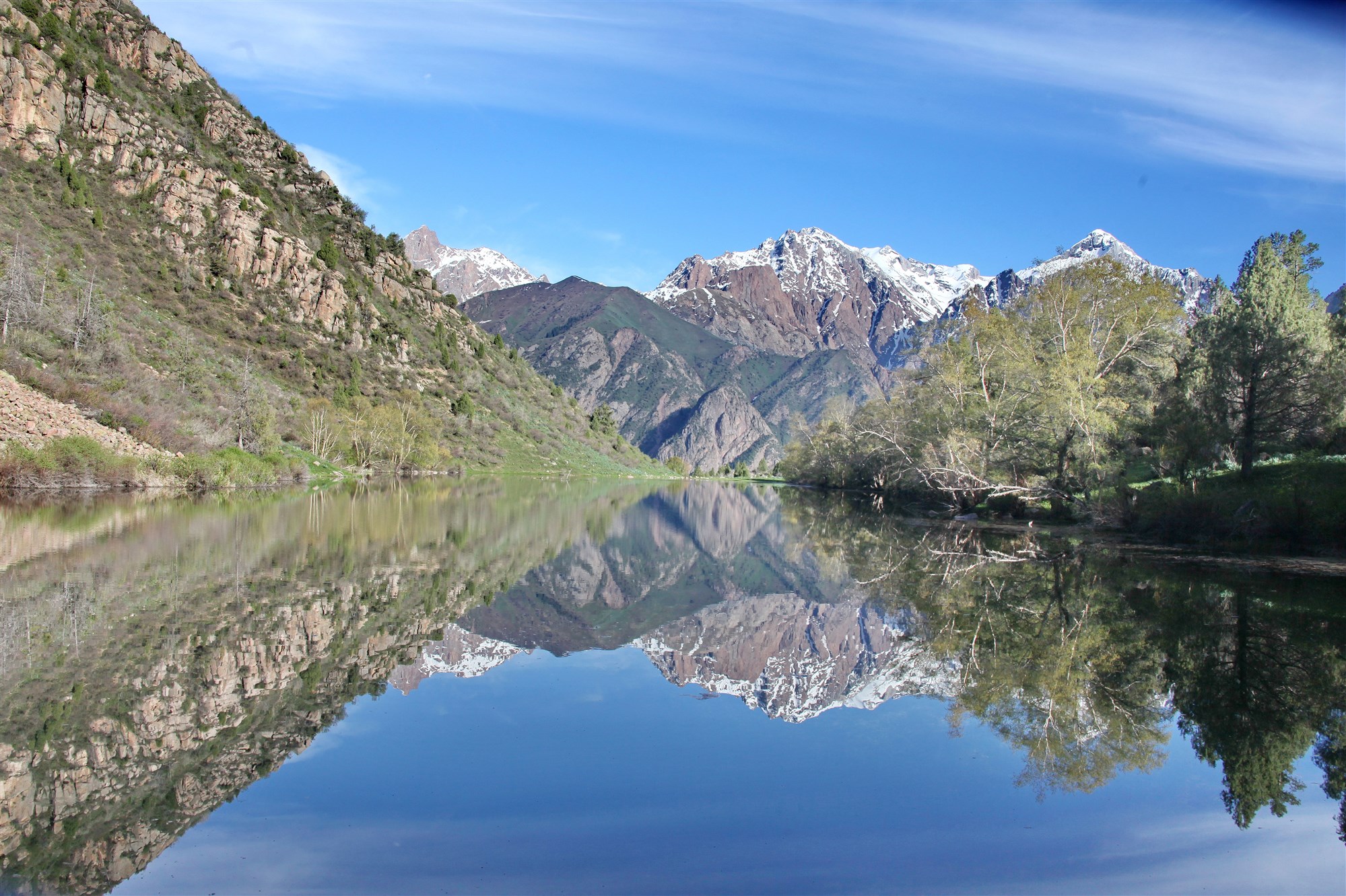
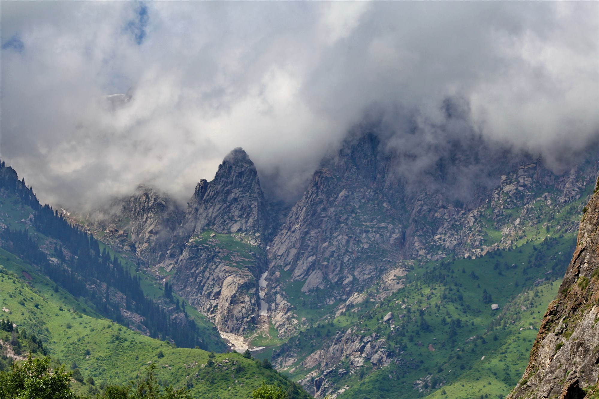
Description: On the way to the Jalalabad region along the Bishkek-Osh highway, after descending from the Ala-Bel pass, the traveler finds himself in the beautiful Chychkan gorge. Translated from the Kyrgyz language, the name of the gorge means "mouse", as many field mice live here.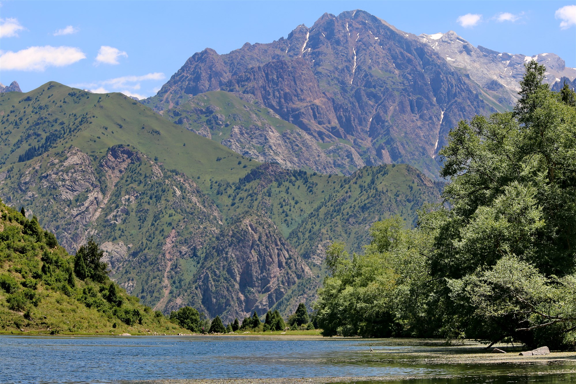
The gorge is located in the Tien Shan mountains, at an altitude of 2200 m. The natural world of the gorge is extremely diverse and offers many opportunities for travel lovers. Crystal clear air, the murmur of mountain rivers, unsurpassed landscapes, stones with individual shapes and rocks - a real paradise for those who love to relax in pristine nature, which is great for walking along the wooded slopes of the mountains.
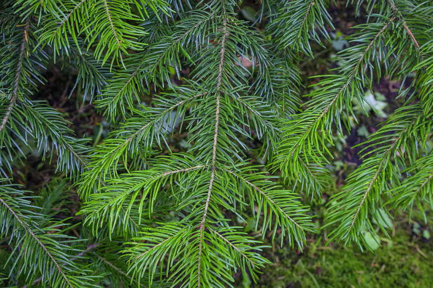
The Chychkan Gorge is a wooded gorge, its slopes are covered with Tien Shan spruce, flowers and berries - juniper, spruce, wild blackberry and barberry grow on the slopes of the mountains. In some places of the gorge, the density of the green cover reaches the point that you have to wade through the thickets, where the height of the plants is almost the height of a person. The average height of the gorge is 2200 meters.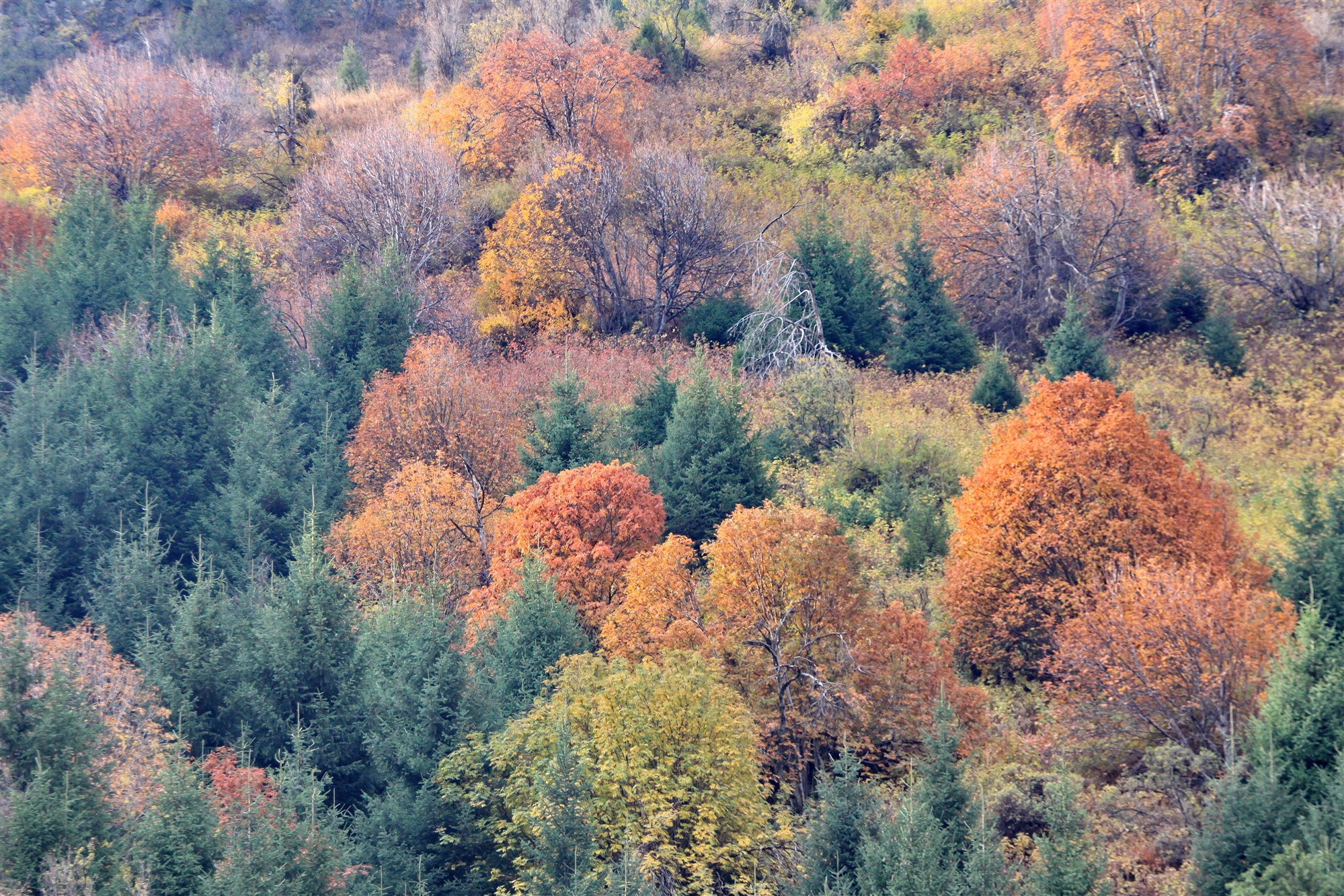
A large number of such vegetation cannot do without water. A turbulent river of the same name flows along the bottom of the gorge, which begins in the mountains near the Ala-Bel pass (slightly above 3000 meters) and flows into the large Toktogul reservoir. The river is filled with numerous streams that flow down from the mountains after the snow melts. Mountain slopes covered with red mountain poppy, birch groves, pine forests, a waterfall - all this characterizes the Chychkan gorge. On some mountains closer to Ala-Bel, there’s snow until June. Also in the gorge there are small lakes, which are located at an altitude of 3000 meters.
There is also a hunting reserve in the gorge, where ibex, roe deer, wild boar, argali and other wild animals are protected. Along the banks of the Chychkan River, there are fish farms where you can go fishing.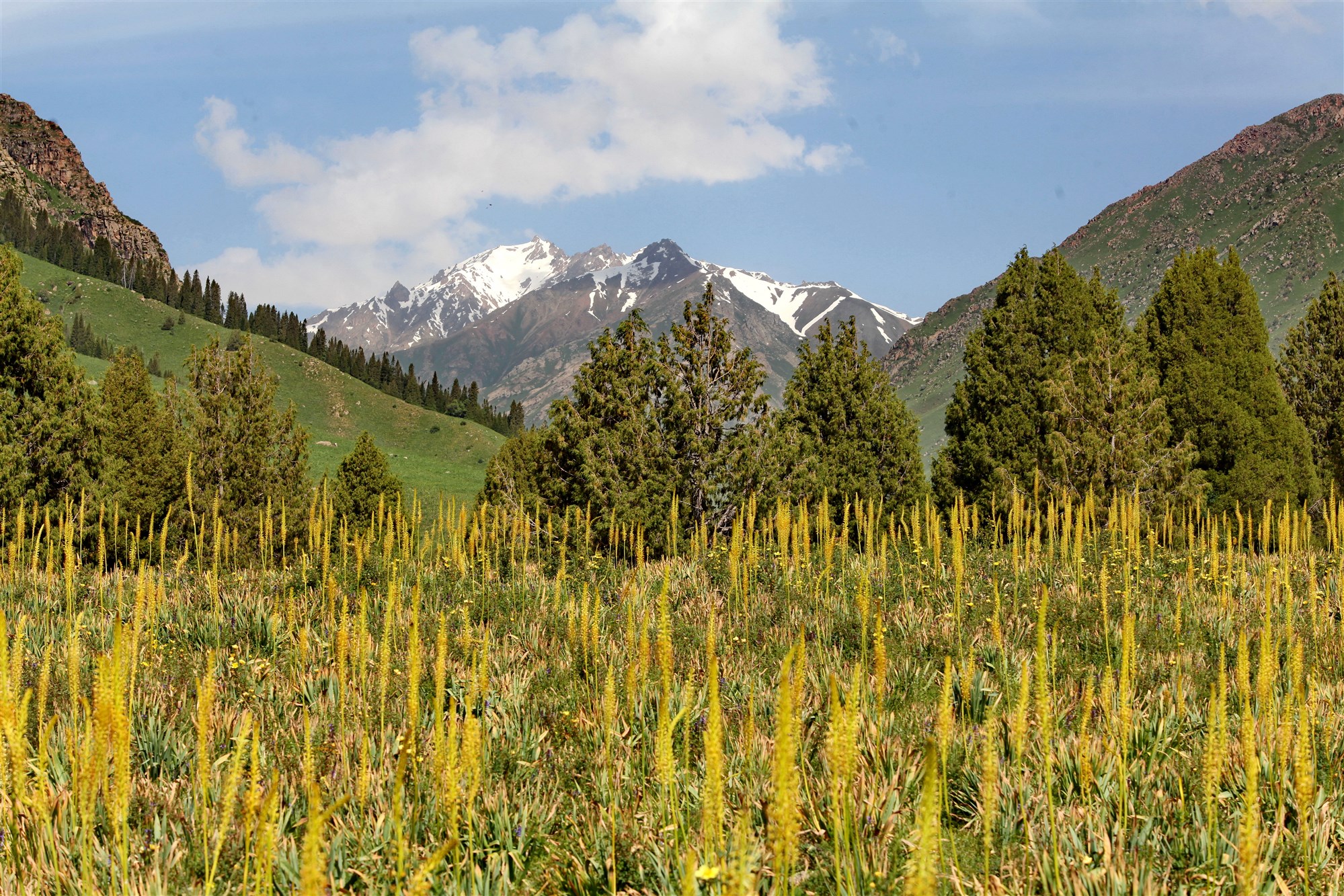
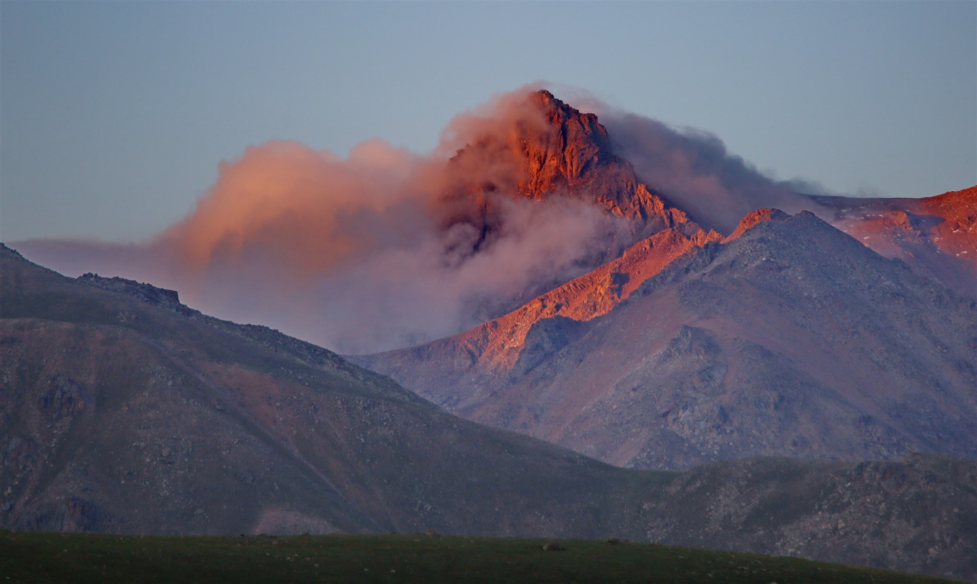
Particularly noteworthy are the side gorges of Chychkan, where the most picturesque gorges of Itagar, Ak-Kel, Kyzyl-Kel and the Tuarcha tract are located. On the side of Chychkan, the Itagar gorge, you can hike to the Saz-Kol lake - one of the two local mountain lakes located at an altitude of more than 3000 m, and also enjoy the views of the most picturesque 60-meter waterfall.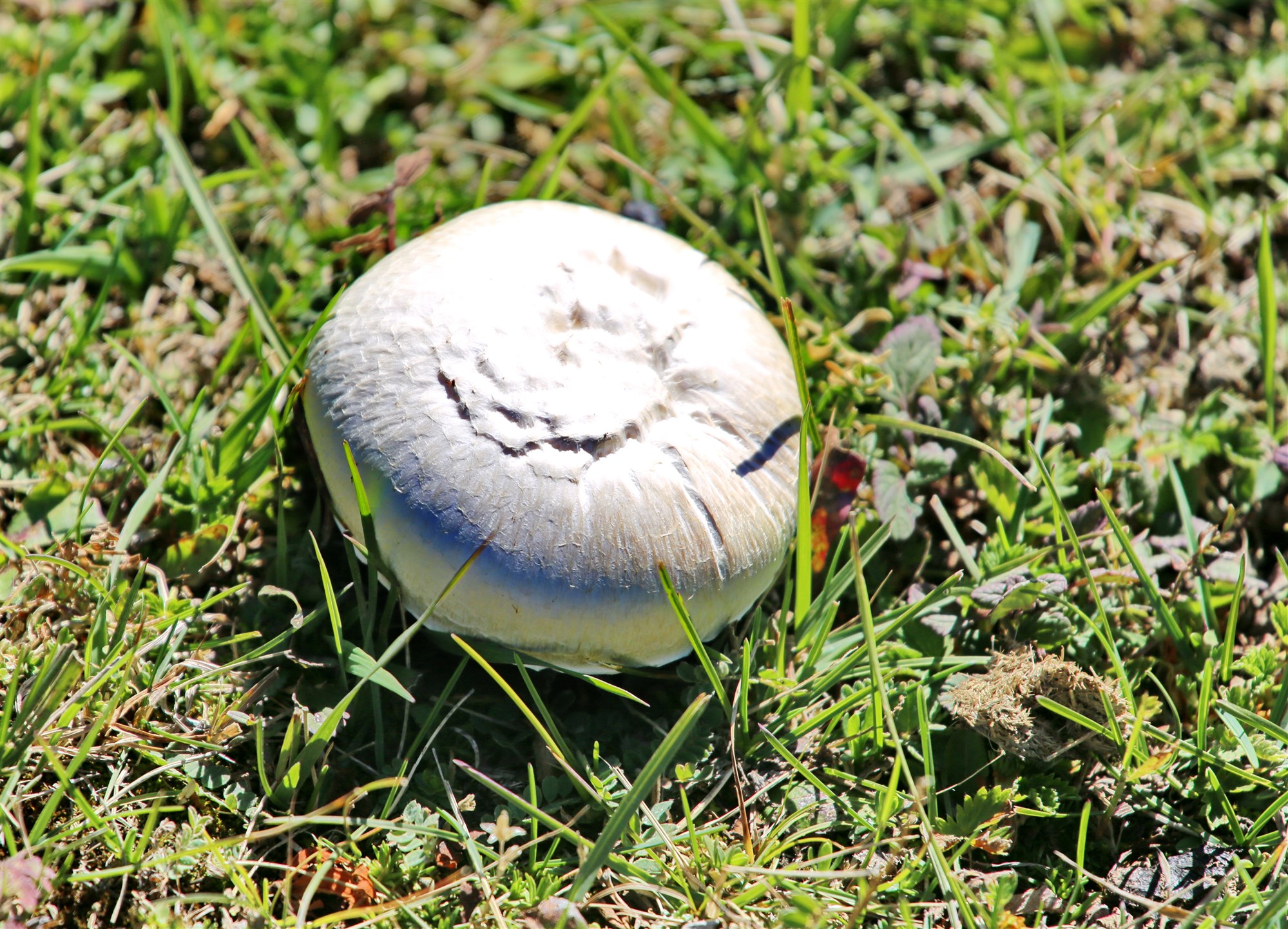
For those who came to conquer the peaks, they will be able to climb to the top in the Ashuu-Bulak gorge (height 3100 meters) or in the Kazy-Jar gorge (height 3483 meters).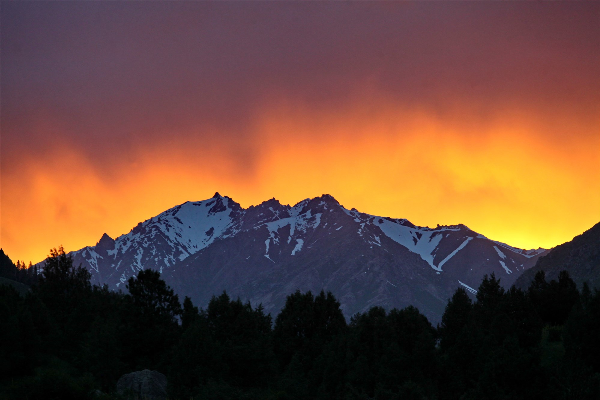
In the Ashuu-Bulak gorge, among the wild thickets of raspberries and blackberries, a crystal clear stream flows, forming a cascade of small waterfalls. After an hour of climbing the gorge, your eyes will have a magnificent view of the mountain peaks.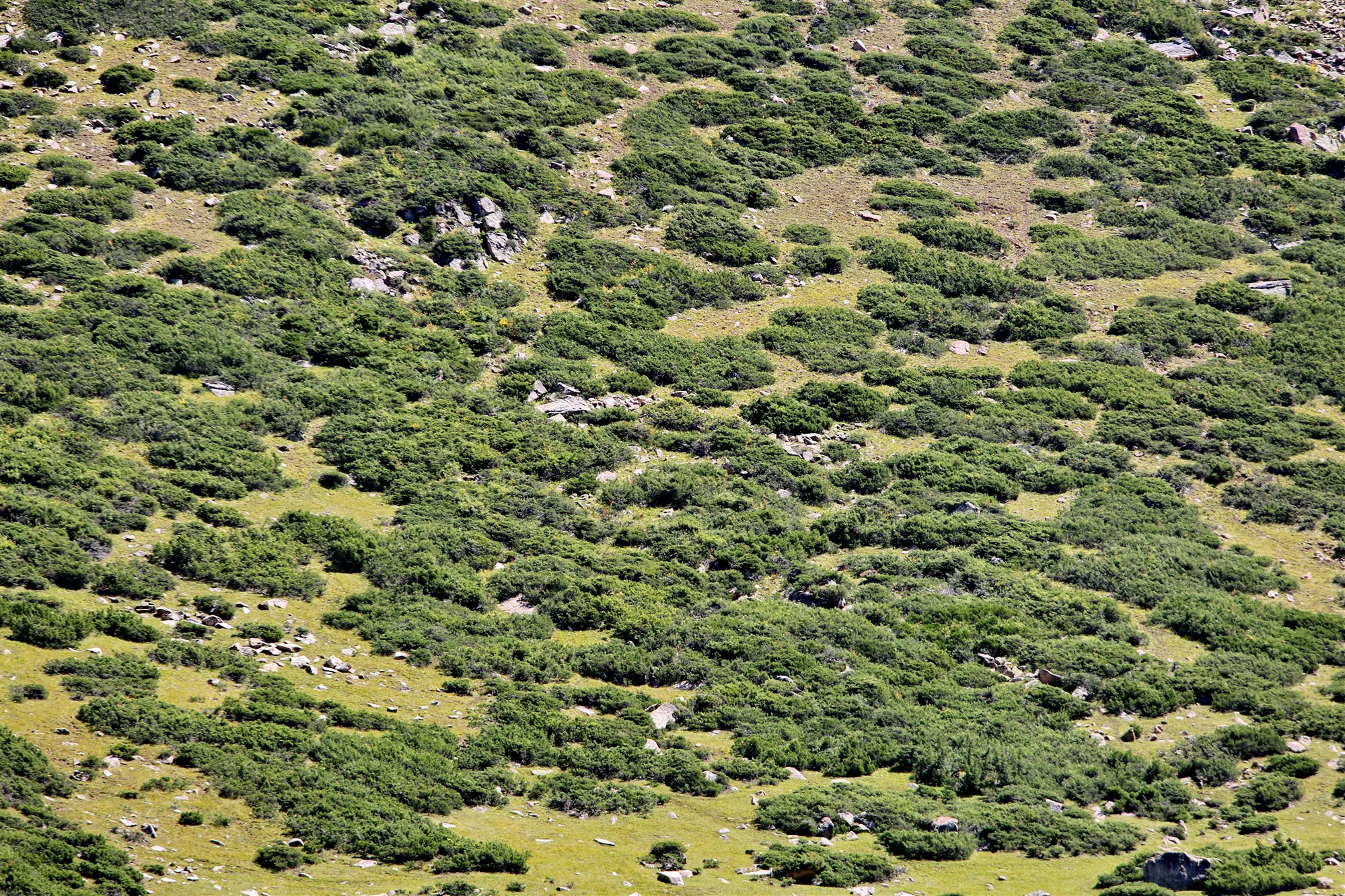
There are also lakes in the gorges. The upper lake is located at an altitude of 3317 meters, surrounded by glaciers. From the lake, the water stream falls from a 60-meter cliff and after 2 kilometers flows into Lake Muztor at an altitude of about 3000 meters. Below is the lake "Kyzyl-Kol" ("Red Lake"), at the bottom of which you can see stones, and the lake itself is surrounded by red rocks, which makes it seem that the water in it is red. The lake got its name because of this effect.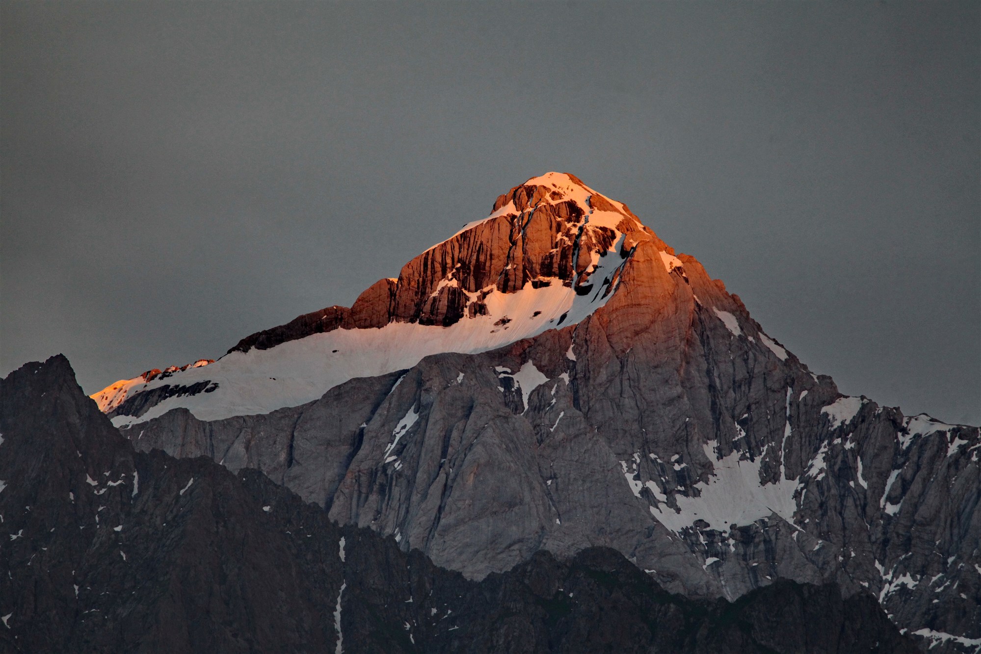
Материалы по теме: